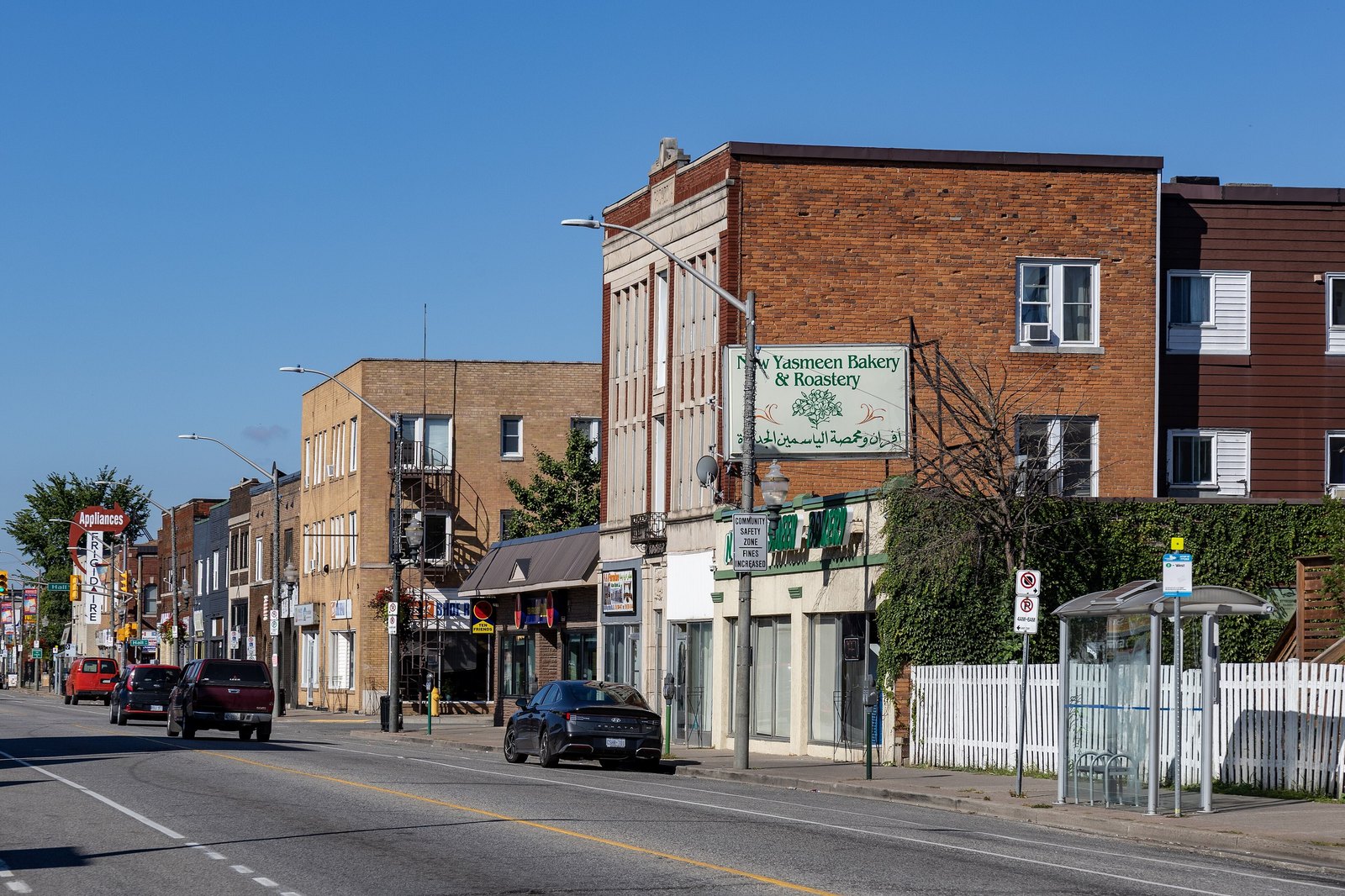
Many of Windsor's north-south streets take their names from French farm families whose long, narrow lots once ran back from the Detroit River. Other names come from the old towns that were joined to make the city, from streets that were later renamed, and from battles marked on the poppy signs in South Walkerville. This page keeps to meanings we can verify, and it points back to photographs already published elsewhere on Rose City Roots so those pictures are not repeated here.
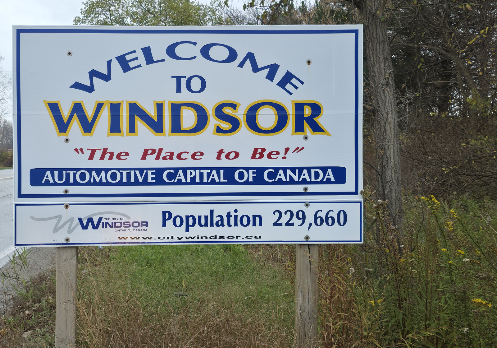
A City of Windsor welcome sign, 12 November 2026. The sign gives the city's slogan, the phrase Automotive Capital of Canada, and a population figure of 229,660. Photo by Kyle L. Stewart, Windsor News
The farm lots
University of Windsor historian-in-training Gillian Kornacki, writing in the university's DailyNews in 2014, described how farms stretched back in tracts from the Detroit River, and how downtown streets such as Ouellette, Pierre, Pelissier, Louis, Parent, Marentette, Mercer and Goyeau bear the names of those original French farmers. A CBC News report, quoting University of Sudbury folklore professor Marcel Bénéteau, likewise says many north-south roads take their names from French families granted land parcels more than 270 years ago, including Ouellette, Pelissier and Lauzon. The City of Windsor's Settlement and Diversity account points to the same heritage in names such as Ouellette, Pelissier and François, and to the long-lot farming system fronting the river.
In Riverside, the City's Main Streets plan adds that many streets still bear the names of the French families who owned the large linear farm lots that lined the Detroit River. We describe that pattern as a French colonial survey of long, narrow farms fronting the river. Some planning documents call those lots seigneurial. We do not, on the evidence we have here, go further and treat the Detroit River farms as a seigneurie in the legal sense used along the St. Lawrence.
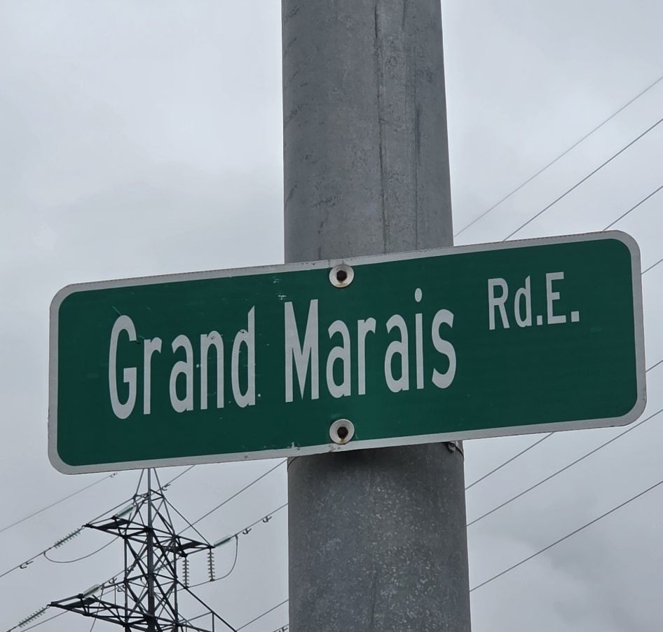
Some names describe the land instead of a family. CBC notes that Grand Marais is French for "big marsh," and that the road still runs alongside wetlands.
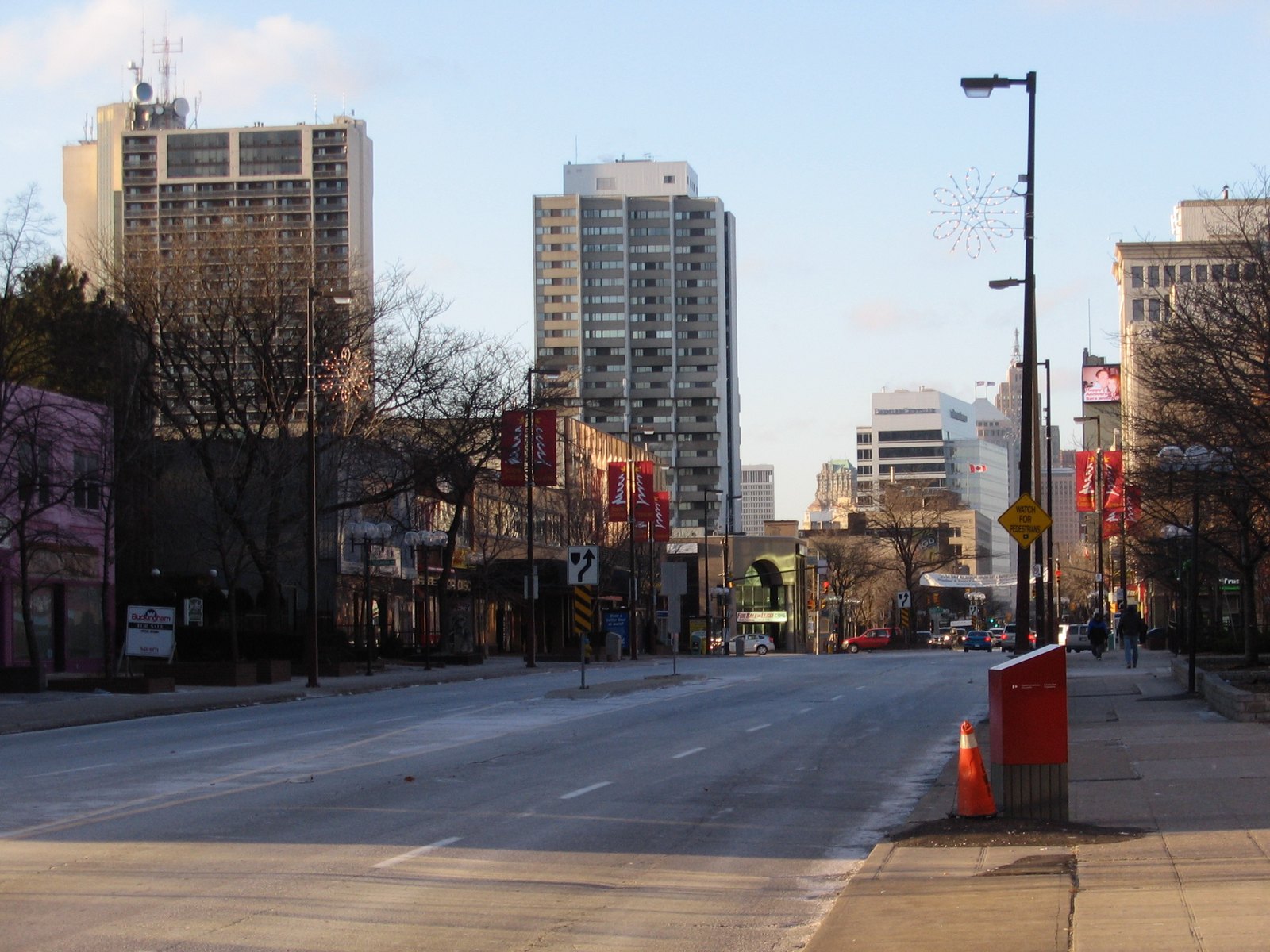
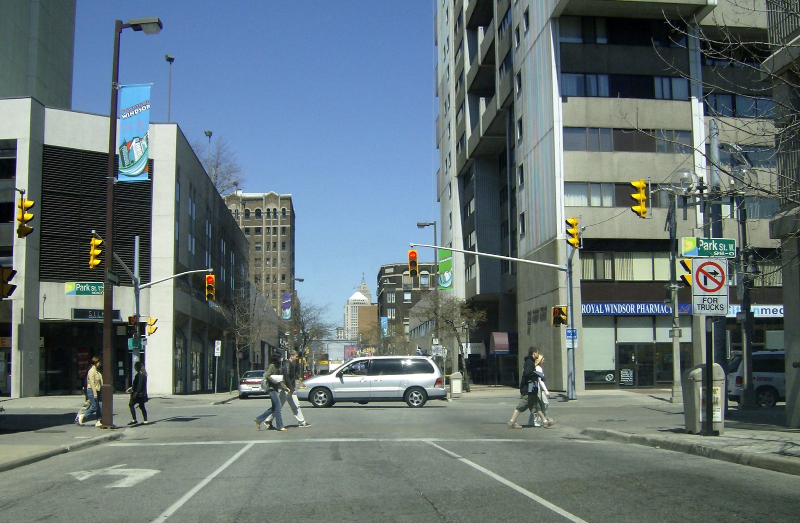
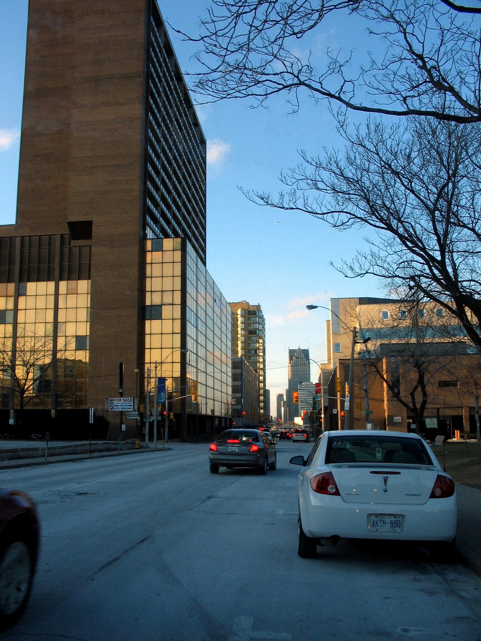
Ouellette Avenue, looking north, 30 January 2008. The photographer's caption places the view near the central library, looking up the main street. jodelli, CC BY 2.0, via Wikimedia Commons. Originally posted to Flickr.Pelissier Street, looking north at Park Street, 20 April 2007. Mikerussell, CC BY-SA 3.0, via Wikimedia Commons.Goyeau Street, looking north, 30 January 2008. The photographer notes the Westcourt office and apartments at left and the court buildings and police at right. jodelli, CC BY 2.0, via Wikimedia Commons. Originally posted to Flickr.
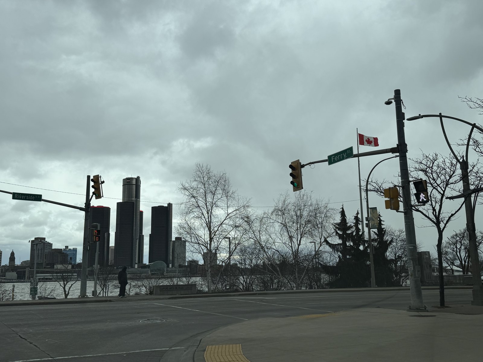
Wyandotte Street, 1400 block, Walkerville, 1 September 2025. Chris Woodrich, CC BY-SA 4.0, via Wikimedia Commons.From the corner of Riverside Drive and Ferry Street, 16 March 2026. The photographer's caption places the view at that corner, looking across the Detroit River. Ben1152000, CC BY-SA 4.0, via Wikimedia Commons.
Historic areas and old towns
The short notes below are about what the names mean, and how they appear on the map. The stories of how those towns began, and how they were joined to Windsor, are already told on Neighbourhoods, How each began. Follow that chapter for the founding accounts. Photographs already published there stay there.
Wawiiatanong
The City's History of Sandwich says that, before Europeans arrived, the land along the Detroit River was referred to as Wawiiatanong by Indigenous populations, and that the surrounding area is the traditional territory of the Three Fires Confederacy: Ojibwe/Chippewa, Potawatomi and Odawa, with the Huron (Wyandot) and Attawandaron also having called the area home. See Nations of the Strait.
Petite Côte
Petite Côte is French for "the small side." The City's Settlement and Diversity text uses that meaning for the south side of the Detroit River, opposite Detroit, where the French settled after Cadillac founded Detroit in 1701. The City's History of Sandwich places Petite Côte in present-day LaSalle, and says it was made up of narrow farms granted to 27 or 28 French families, the first being Louis Gervais in 1749. See The French Shore.
Sandwich, and Olde Sandwich Towne
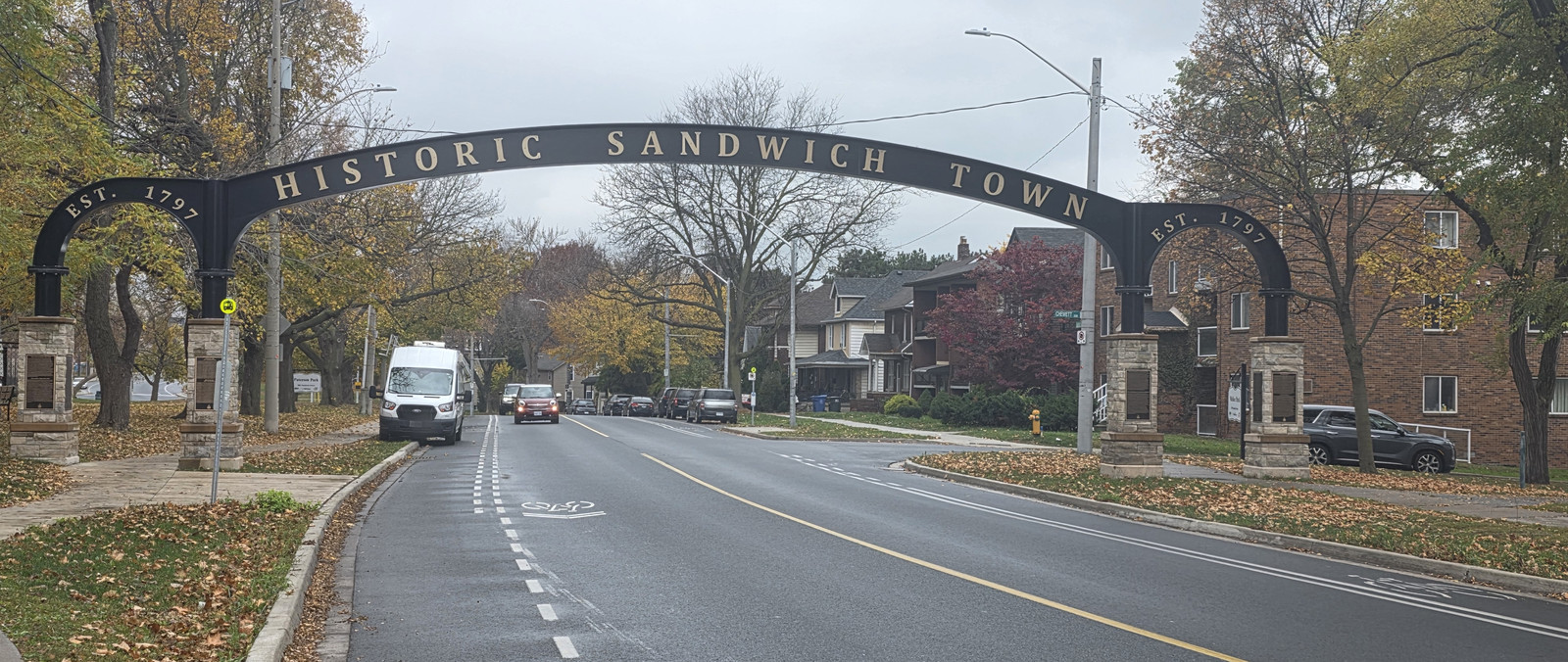
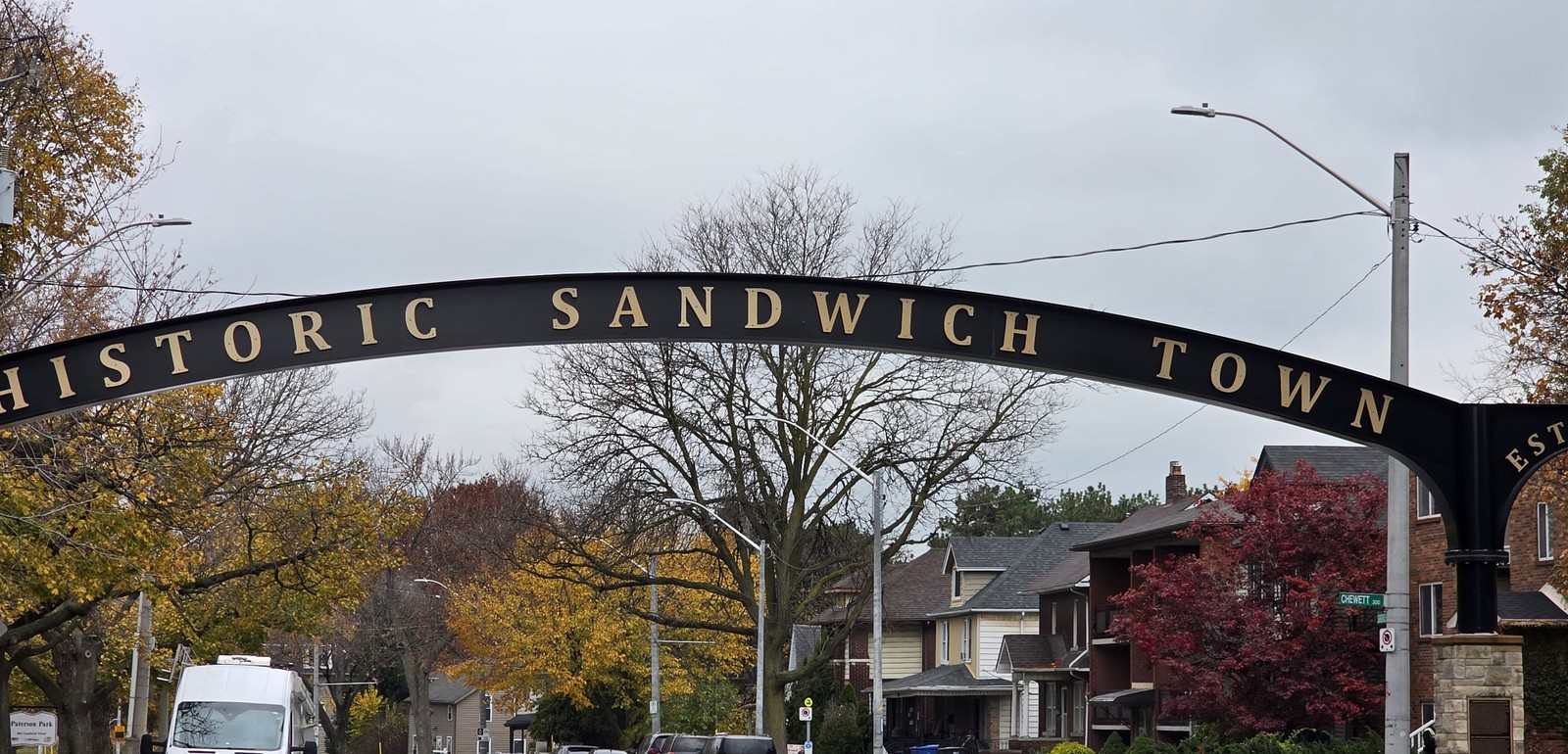
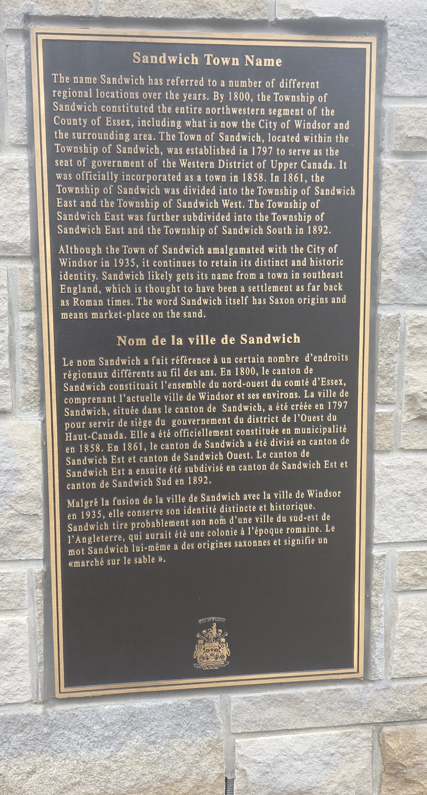
The town site of Sandwich was laid out in 1797 after the purchase of the Huron Church Reserve. The City says Peter Russell named the main streets after himself and his English homestead, Bedford, and that Bedford later became Sandwich Street. The civic square stood at Brock and Bedford. Why the town itself was called Sandwich is not stated in the official City histories checked for this page, so we do not attach it to the Earl of Sandwich or to Sandwich in Kent without a source of that standard. The historic core is also called Olde Sandwich Towne. The City uses that name for the Sandwich Heritage Conservation District, designated 19 October 2012. For how the town began and how it joined Windsor in 1935, see Neighbourhoods and Sandwich and the New Border.
The Historic Sandwich Town arch, 12 November 2026. The arch reads Historic Sandwich Town, Est. 1797. Photo by Kyle L. Stewart, Windsor NewsThe Historic Sandwich Town arch, closer view, 12 November 2026.Photo by Kyle L. Stewart, Windsor News
Plaques on the Historic Sandwich Town arch, photographed 12 November 2026.
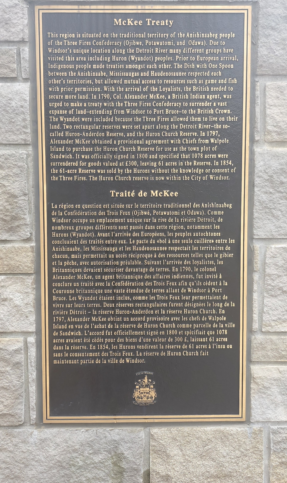
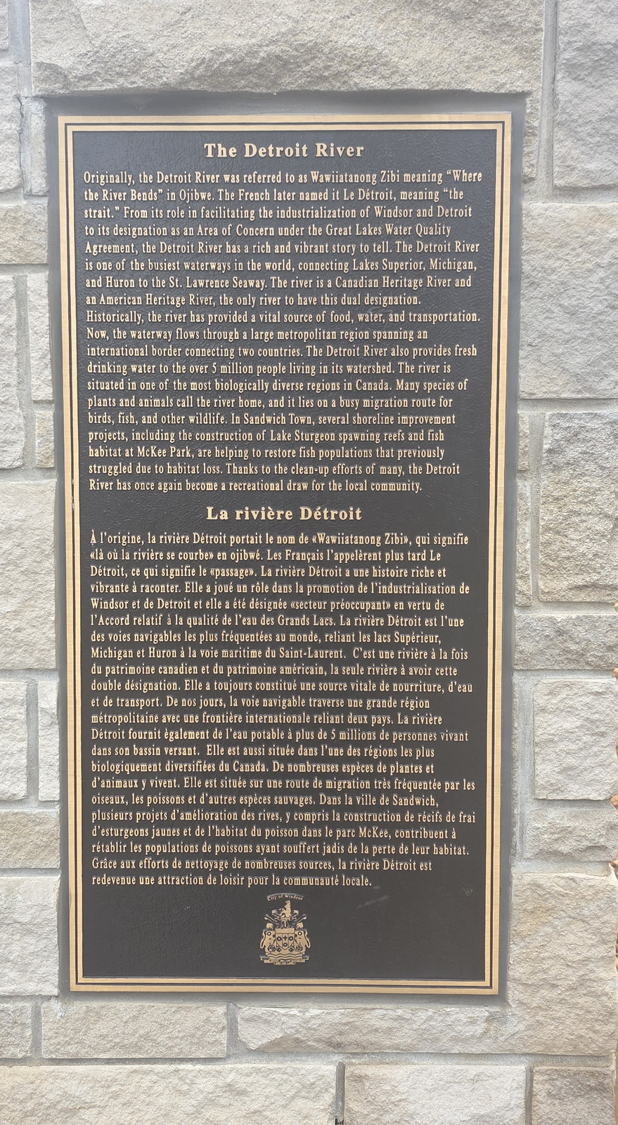
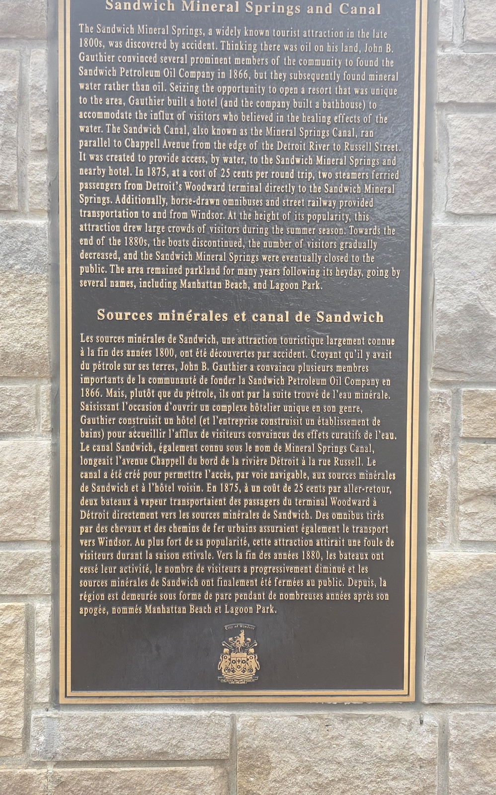
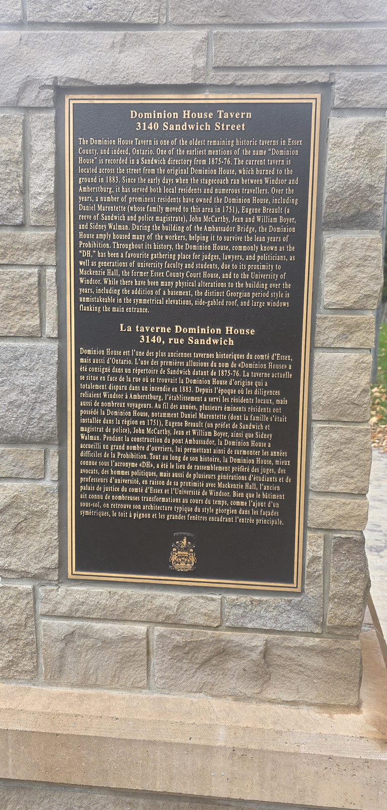
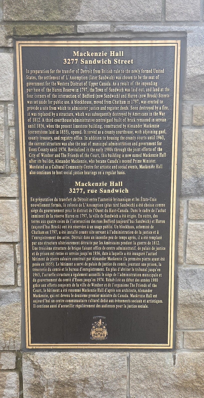
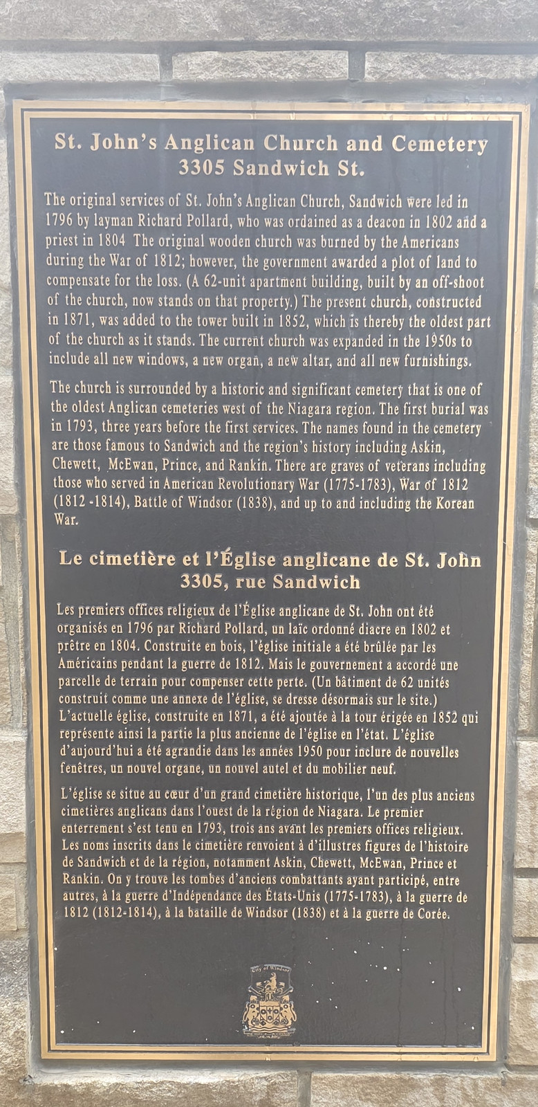
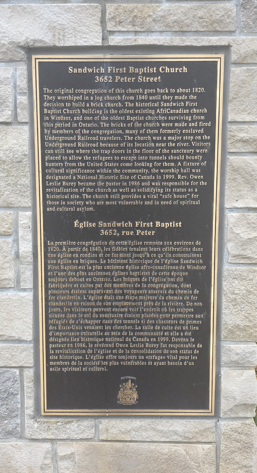
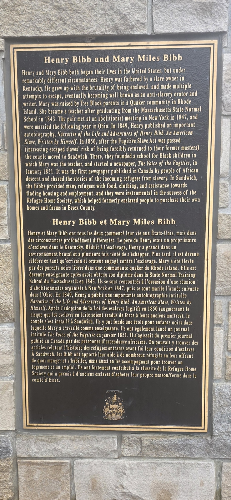
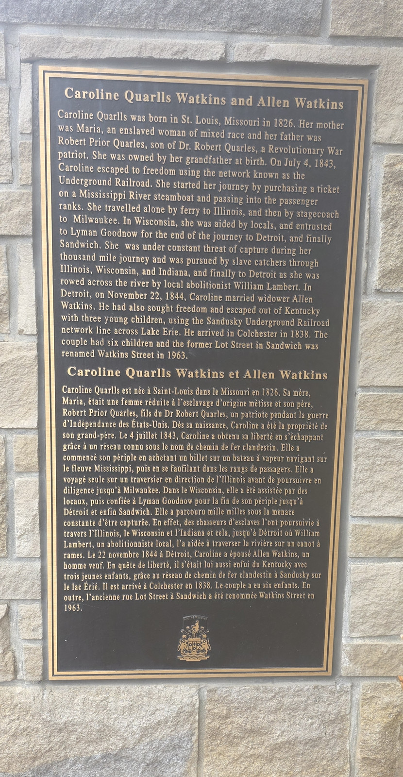
Sandwich Town Name plaque on the Historic Sandwich Town arch, 12 November 2026. The plaque says the Town of Sandwich was established in 1797 and amalgamated with Windsor in 1935, and that the name likely comes from a town in southeast England, with Saxon origins meaning market-place on the sand. Photo by Kyle L. Stewart, Windsor NewsMcKee Treaty plaque on the Historic Sandwich Town arch, 12 November 2026. The plaque says this region is on the traditional territory of the Anishinabeg people of the Three Fires Confederacy (Ojibwe, Potawatomi, and Odawa), and describes Col. Alexander McKee's treaty and the Huron Church Reserve. Photo by Kyle L. Stewart, Windsor NewsThe Detroit River plaque on the Historic Sandwich Town arch, 12 November 2026. The plaque says the river was originally called Wawiiatanong Zibi, meaning "Where the River Bends" in Ojibwe, and that the French later named it Le Détroit, meaning "the strait." Photo by Kyle L. Stewart, Windsor NewsSandwich Mineral Springs and Canal plaque on the Historic Sandwich Town arch, 12 November 2026. The plaque says the mineral springs were discovered by accident in the late 1800s on John B. Gauthier's land, and that a canal and resort later drew visitors before the grounds became parkland. Photo by Kyle L. Stewart, Windsor NewsDominion House Tavern plaque on the Historic Sandwich Town arch, 12 November 2026. The plaque, headed 3140 Sandwich Street, says the tavern is one of the oldest remaining historic taverns in Essex County, and that the current building stands across the street from the original, which burned in 1853. Photo by Kyle L. Stewart, Windsor NewsMackenzie Hall plaque on the Historic Sandwich Town arch, 12 November 2026. The plaque, headed 3277 Sandwich Street, says the present limestone building was constructed by Alexander Mackenzie, opened as a county courthouse, and was later named Mackenzie Hall after him. Photo by Kyle L. Stewart, Windsor NewsSt. John's Anglican Church and Cemetery plaque on the Historic Sandwich Town arch, 12 November 2026. The plaque, headed 3305 Sandwich St., says the first services were led in 1796, and that the church is surrounded by one of the oldest Anglican cemeteries west of the Niagara region. Photo by Kyle L. Stewart, Windsor NewsSandwich First Baptist Church plaque on the Historic Sandwich Town arch, 12 November 2026. The plaque, headed 3652 Peter Street, says the congregation dates to about 1820, that the brick church is the oldest existing AfriCanadian church in Windsor, and that it was a major stop on the Underground Railroad. Photo by Kyle L. Stewart, Windsor NewsHenry Bibb and Mary Miles Bibb plaque on the Historic Sandwich Town arch, 12 November 2026. The plaque says Henry, born into slavery in Kentucky, and Mary, raised by free Black parents in Rhode Island, settled in Sandwich, where they founded a school for Black children and Henry published The Voice of the Fugitive. Photo by Kyle L. Stewart, Windsor NewsCaroline Quarlls Watkins and Allen Watkins plaque on the Historic Sandwich Town arch, 12 November 2026. The plaque says Caroline Quarlls escaped slavery in 1843, reached Sandwich by the Underground Railroad, and married Allen Watkins, and that the former Lot Street in Sandwich was renamed Watkins Street in 1963. Photo by Kyle L. Stewart, Windsor News
Heritage plaques and a mural elsewhere in Sandwich, photographed 12 November 2026.
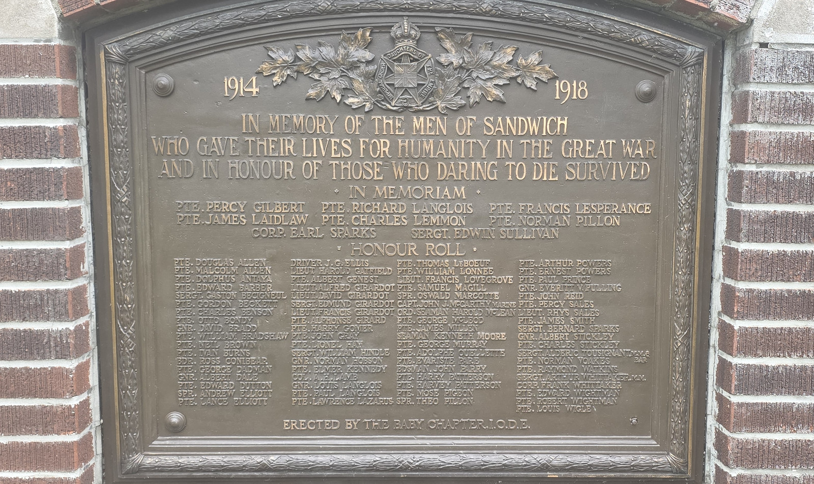
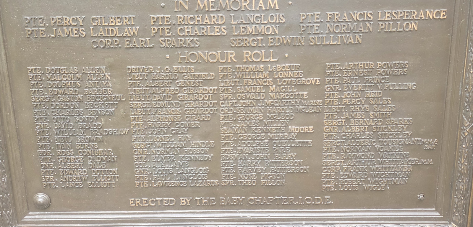
Sandwich Great War memorial, 12 November 2026. The plaque is headed 1914 and 1918, and is in memory of the men of Sandwich who gave their lives for humanity in the Great War, and in honour of those who survived. It was erected by the Baby Chapter, I.O.D.E. Photo by Kyle L. Stewart, Windsor NewsThe honour roll on the Sandwich Great War memorial, 12 November 2026. The In Memoriam names include Pte. Percy Gilbert, Pte. Richard Langlois, Pte. Francis Lesperance, Pte. James Laidlaw, Pte. Charles Lemmon, Pte. Norman Pillon, Corp. Earl Sparks and Sergt. Edwin Sullivan. Photo by Kyle L. Stewart, Windsor News
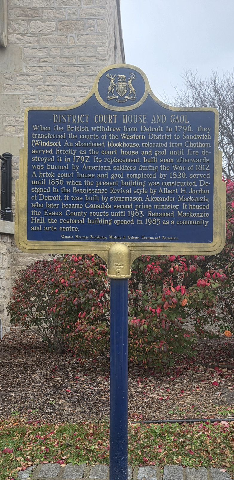
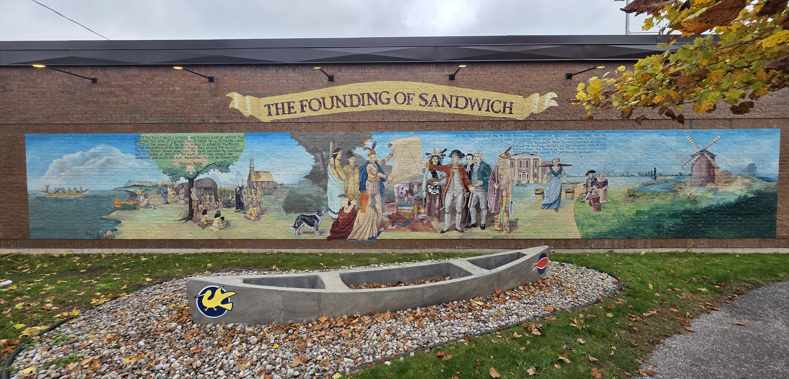
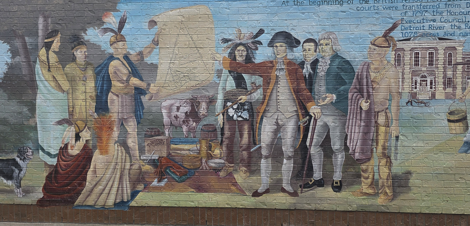
District Court House and Gaol plaque, 12 November 2026. The plaque says the British transferred the courts of the Western District to Sandwich (Windsor) in 1796, and that the present building, built by stonemason Alexander Mackenzie, housed the Essex County courts until 1963 and opened as Mackenzie Hall, a community and arts centre, in 1985. Erected by the Ontario Heritage Foundation, Ministry of Culture, Tourism and Recreation. Photo by Kyle L. Stewart, Windsor NewsThe Founding of Sandwich mural, 12 November 2026. Mural by Milica Yaksich, painted in 1995. Photo by Kyle L. Stewart, Windsor News
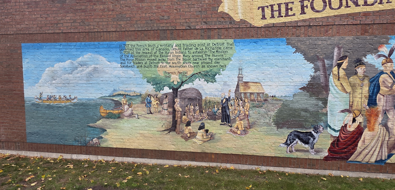
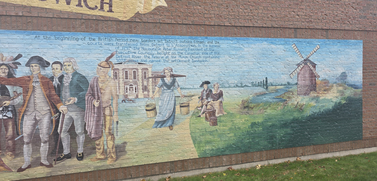
The French Period panel on The Founding of Sandwich mural, 12 November 2026. The mural says that in 1701 the French built a military and trading post at Detroit, that Jesuit Father de La Richardie came in 1728 to establish the Mission of the Assumption of the Blessed Virgin Mary among the Hurons, and that the mission later moved to the south shore near present-day Sandwich and built the first Assumption Church. The panel is marked French Period, 1540-1775. Photo by Kyle L. Stewart, Windsor NewsThe British Period panel on The Founding of Sandwich mural, 12 November 2026. The mural says that in the summer of 1797 the Honourable Peter Russell, President of the Executive Council, bought the Reserve at the Huron Church, containing 1,078 acres, on the Canadian side of the Detroit River, and named the settlement Sandwich. Photo by Kyle L. Stewart, Windsor News
The central scene of The Founding of Sandwich mural, 12 November 2026.Photo by Kyle L. Stewart, Windsor News
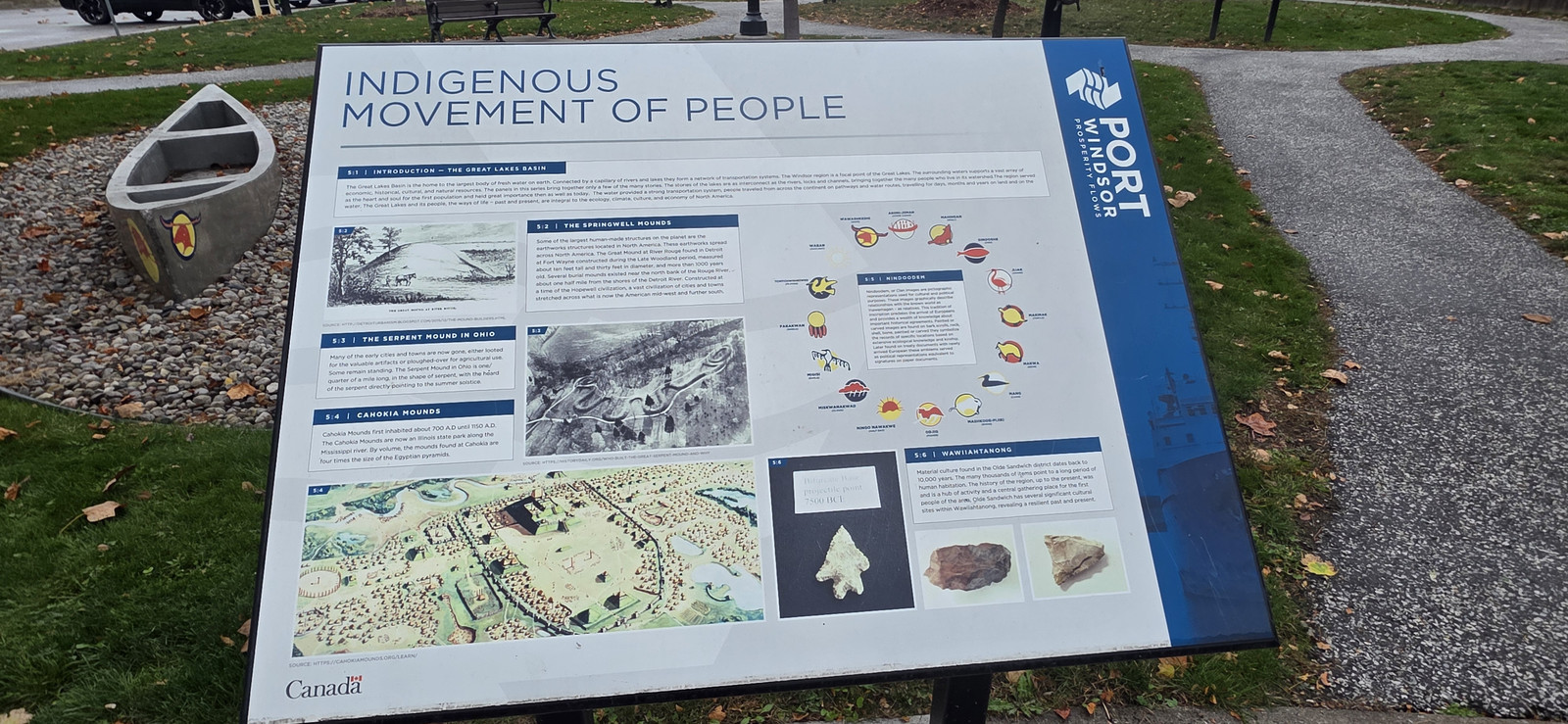
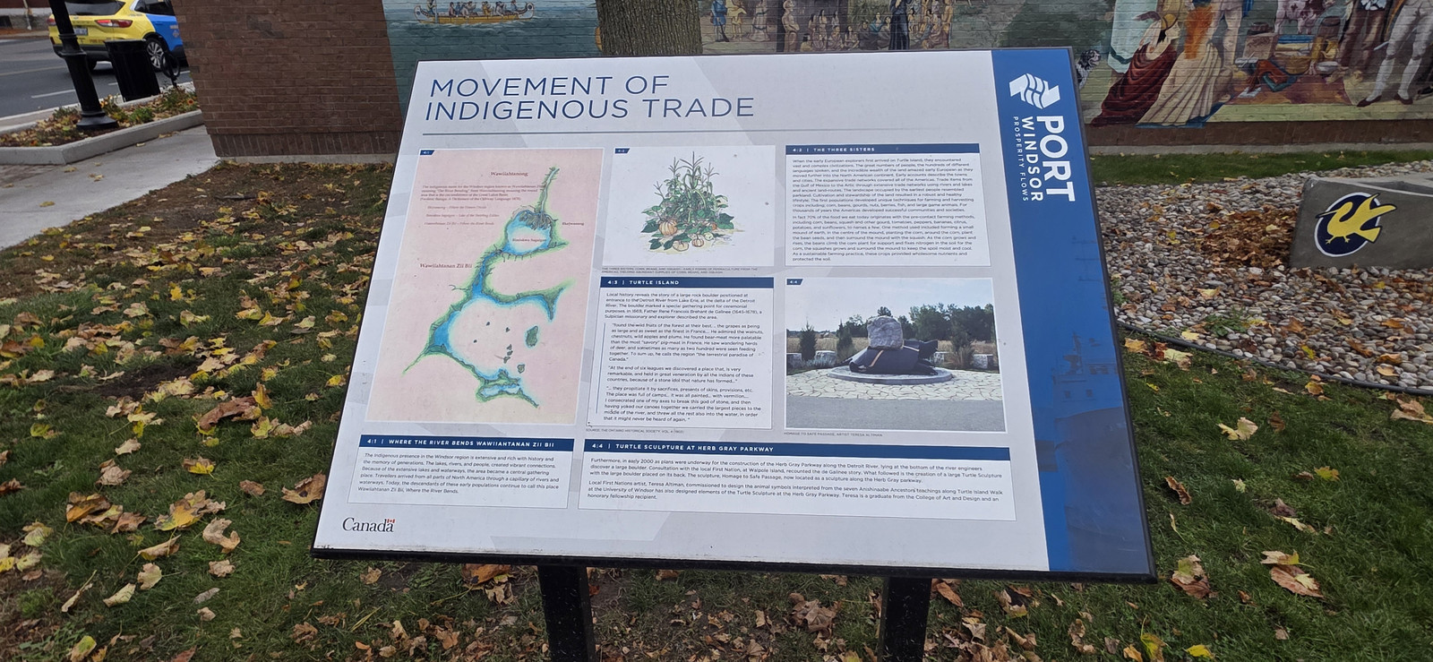
Indigenous Movement of People interpretive panel at Port Windsor, 12 November 2026. The panel, also marked Canada, is titled Indigenous Movement of People. Photo by Kyle L. Stewart, Windsor NewsMovement of Indigenous Trade interpretive panel at Port Windsor, 12 November 2026. The panel, also marked Canada, is titled Movement of Indigenous Trade. Photo by Kyle L. Stewart, Windsor News
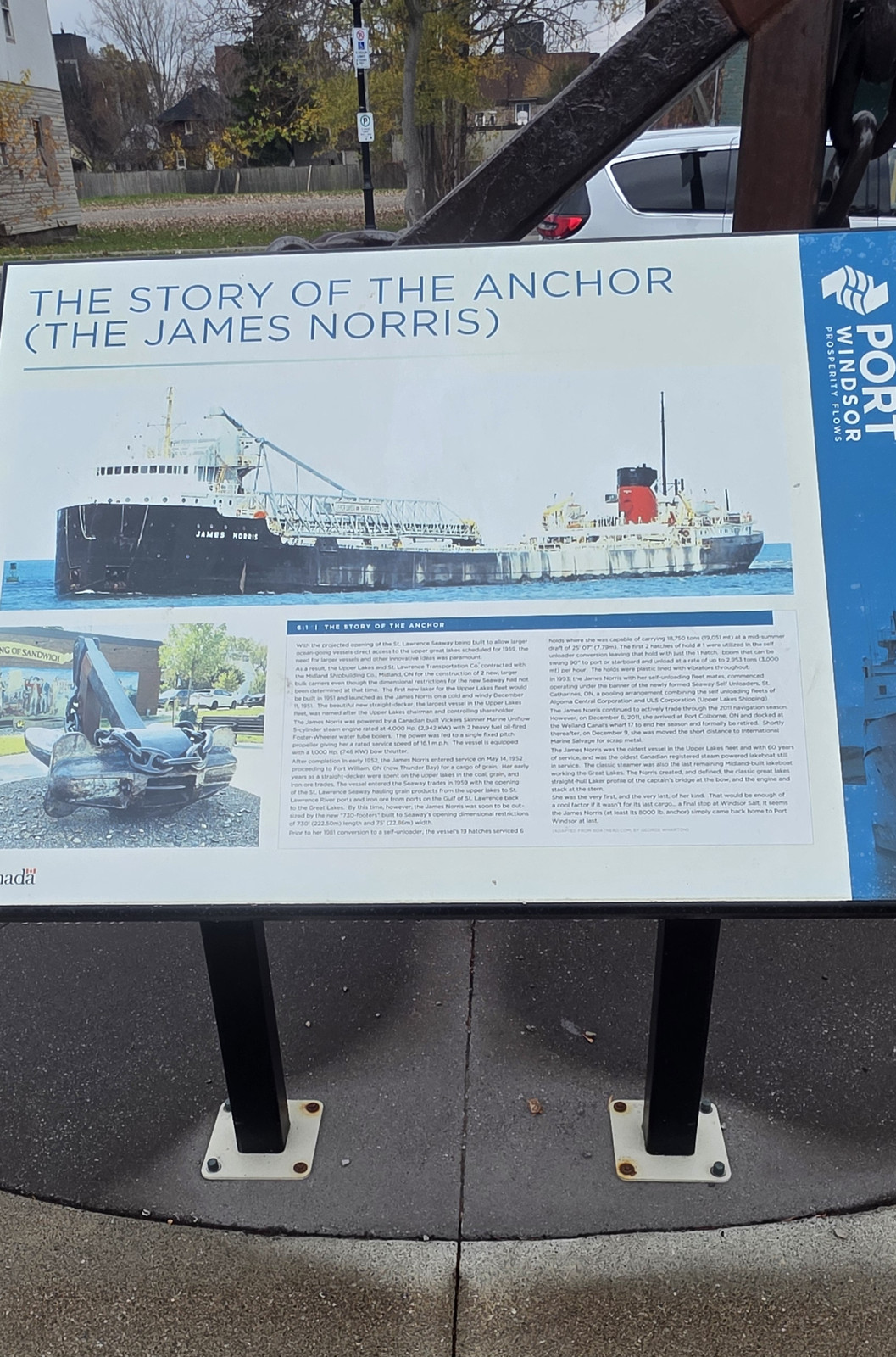
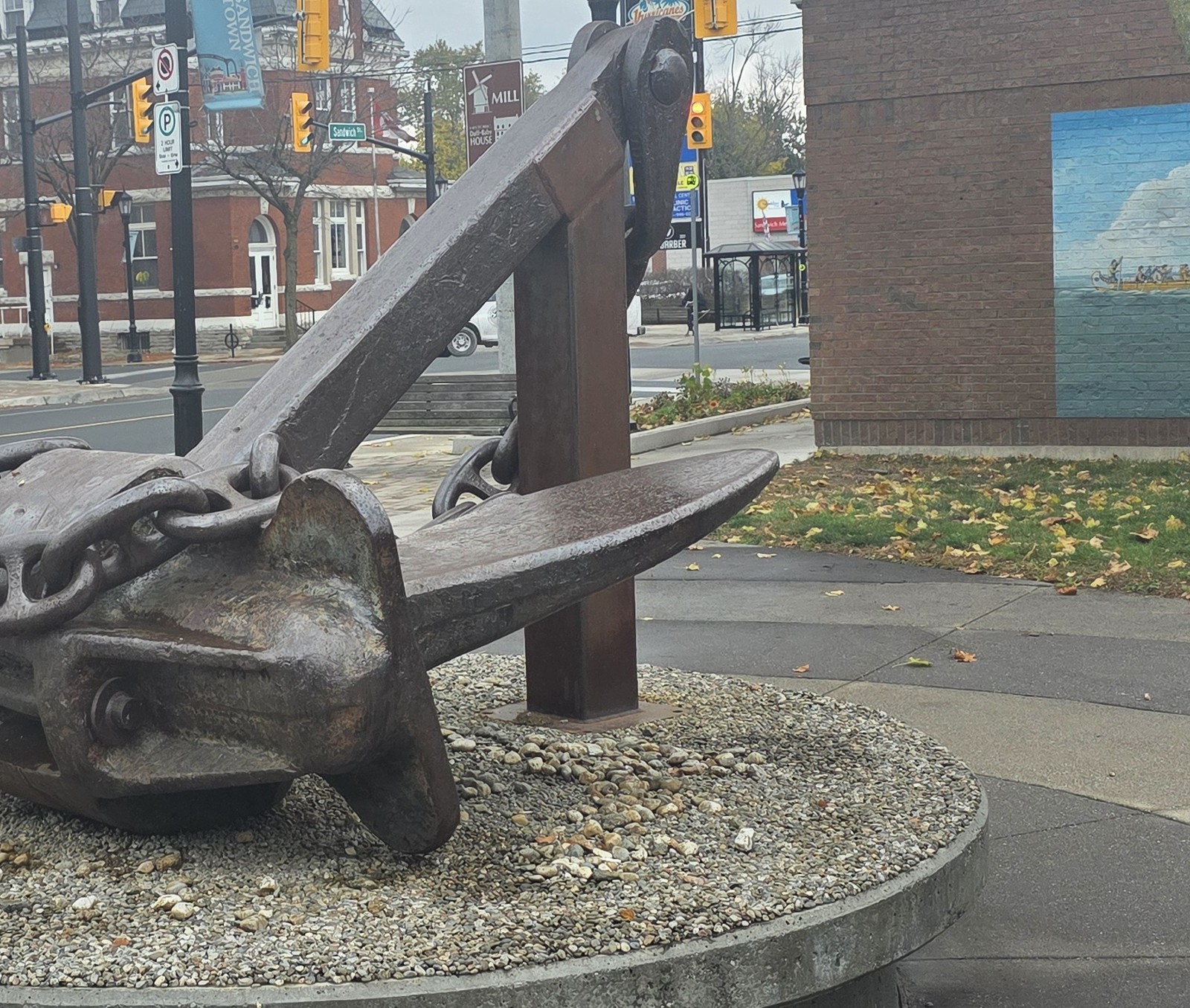
The Story of the Anchor (The James Norris) interpretive panel at Port Windsor, 12 November 2026. The panel tells the story of the anchor and of the ship James Norris. Photo by Kyle L. Stewart, Windsor NewsThe James Norris anchor, Sandwich, 12 November 2026. The Story of the Anchor plaque for this piece is in the photograph above. Photo by Kyle L. Stewart, Windsor News
The Ferry, Richmond, South Detroit, and Windsor
The settlement around the ferry landing was known as the Ferry, Richmond or South Detroit before it agreed on the name Windsor in 1836. That account, and the later village, town and city dates, are already on Neighbourhoods. Ferry Street still meets the river near that landing. See also the Ferry Street entry below.
Walkerville, once Walker Town
The City calls the community that grew around Hiram Walker's distillery and flour mill "Walker Town." The Ontario Heritage Trust describes Walkerville as a company town developed on an English garden-city plan, bounded on the west by Lincoln Road and on the east by Walker Road, with Devonshire Road as the town's main street. For how the town was founded and how it was amalgamated in 1935, see Neighbourhoods and Border Cities. A bronze statue of Hiram Walker stands in Hiram Walker Parkette, at the northeast corner of Devonshire Road and Riverside Drive East. The statue, and a photograph of it, are on Landmarks.
Ford City, later East Windsor
The name Ford City came with the Ford plant. The City says the town was later renamed East Windsor and incorporated as a city, then joined the 1935 amalgamation. Drouillard Road was the old town's main street. For the founding account, see Neighbourhoods and Works and Wages.
Photograph pending. A Ford City or Drouillard Road photograph is still to be taken, planned for the next day of this run (stop 23).
Riverside, and Olde Riverside
The City says street names such as Belleperche and Lauzon honour early French settlers in Riverside. The City's Main Streets plan calls the old town's downtown "Olde Riverside" or "Olde Riverside Town Centre," and notes that the main street there was the downtown of the Town of Riverside, incorporated in 1921 and annexed in 1966. In that town, the road now called Wyandotte Street East was once Ottawa Street. For how Riverside began and when it joined Windsor, see Neighbourhoods.
Photograph pending. An Olde Riverside neighbourhood or street photograph is still to be taken, planned for the next day of this run (stop 25).
Ojibway
The Town of Ojibway was a planned company town, later absorbed in 1966. The founding account is on Neighbourhoods. The spelling Ojibway is a common local form of Ojibwe. Matthew Nahdee, then executive director of the Can-Am Indian Friendship Centre, has pointed out that such spellings can flatten the original names. We have not, in the official histories checked here, found a sentence that states why the steel-town promoters chose the name Ojibway, so that part of the meaning stays open. The parks that now occupy much of the area are treated on Natural Windsor.
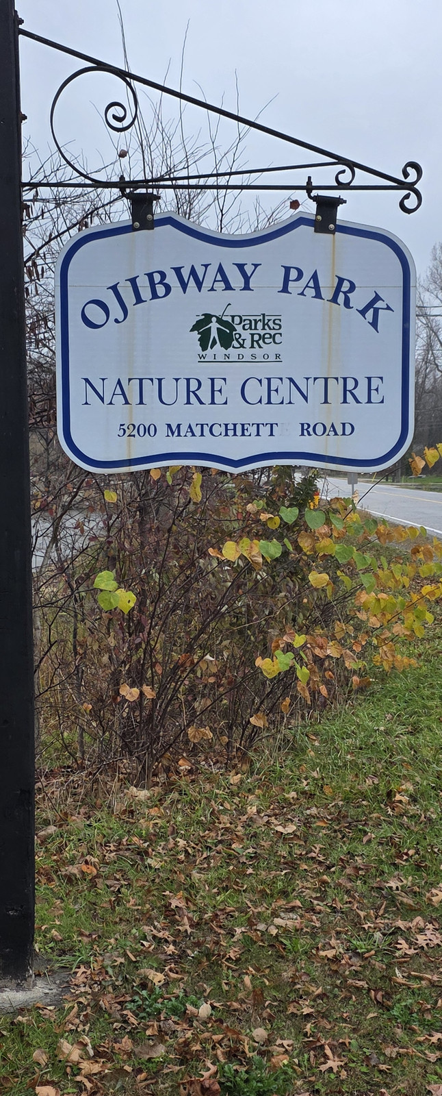
Ojibway Park Nature Centre sign on Matchett Road, 12 November 2026.Photo by Kyle L. Stewart, Windsor News
Sandwich East, Sandwich West and Sandwich South
The City's History of Sandwich says the Township of Sandwich, which included what is now Windsor and area, was divided in 1861 into East Sandwich and West Sandwich, and that East Sandwich was subdivided in 1893 to create South Sandwich. The Town of Tecumseh's official history gives the same 1861 and 1893 township dates, and records that in 1966 Sandwich East was divided again and disappeared, annexed into Windsor and into Sandwich South. Riverside, as the City already notes on Neighbourhoods, was once part of Sandwich East. Sandwich South later became part of the present Town of Tecumseh in the 1999 county restructuring.
St. Clair Beach
The Town of Tecumseh's official history says the Village of St. Clair Beach was incorporated in 1914, on land in the Township of Maidstone settled by the Champagne, Cada and Grant families. It was one of the three historic communities joined, in 1999, to form the present Town of Tecumseh. It was never part of the City of Windsor.
Photograph pending. A St. Clair Beach sign photograph is still to be taken, planned for the next day of this run (stop 31).
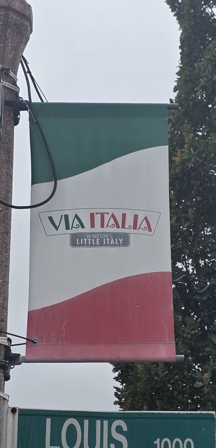
Little Italy, or Via Italia, on Erie Street
The City's Main Streets plan says the Erie Street Business Improvement Area, legally the Erie Street East Improvement Area, is commonly known as Via Italia or Windsor's Little Italy. It records that Italian immigrants began to come into the area in the 1900s, with 429 Italian Canadians living there by 1921 and about 2,000 residents of Italian heritage by 1931, and that the "Little Italy" main street as it is known today was a gradual evolution dating back to 1900. We have not, in the sources checked here, verified that the name Erie Street itself comes from Lake Erie, so that claim is not made. A recent photograph of Erie Street is already on Parishes and Peoples and is not repeated here.
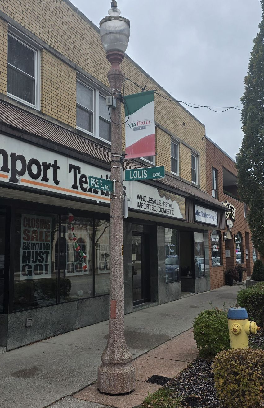
Louis Avenue at Erie Street, 12 November 2026. A Via Italia banner hangs on the lamp post above the Louis street sign. Photo by Kyle L. Stewart, Windsor News
Bedford Street became Sandwich Street in the old Town of Sandwich. Peter Russell had named Bedford after his English homestead. Source: City of Windsor, History of Sandwich, and the Sandwich Heritage Walking Tour.
Lot Street became Watkins Street in 1963, in honour of the Watkins family's contributions to the Sandwich community and church. The City's walking tour names Homer Watkins, a senior deacon at Sandwich First Baptist Church. Source: City of Windsor, Sandwich Heritage Walking Tour.
London Street became University Avenue. Southwestern Ontario Digital Archive captions state that London Street is now University Avenue. A City of Windsor streetcar history also refers to a car barn "on University Avenue (formerly London Street)." We have not, in the official sources checked here, confirmed the often-repeated date of 1957 or the story that the change honoured Assumption College's centennial, so those details are left off this page for now.
Sandwich Street, in the Windsor riverfront, became Riverside Drive. The City's Victoria Avenue Walking Tour says James Dougall's store stood on "Sandwich Street (now Riverside Drive West)." The Ford City Walking Tour likewise treats Riverside Drive as the later name of Sandwich Street in that stretch.
Ottawa Street, in the old Town of Riverside, is now Wyandotte Street East on that stretch. Source: City of Windsor, Main Streets plan, Olde Riverside history. Ottawa Street still exists as its own street elsewhere in the city.
Ford City was renamed East Windsor before the 1935 amalgamation. That municipal rename is already on Neighbourhoods.
Sources: City of Windsor, History of Sandwich · City of Windsor, Sandwich Heritage Walking Tour · City of Windsor, Victoria Avenue Walking Tour · City of Windsor, Ford City Walking Tour · City of Windsor, Streetcar Sponsorship Package · Southwestern Ontario Digital Archive captions for London Street · City of Windsor, Main Streets plan
Poppy streets
Windsor-Essex people connected with these battles are gathered on War Chest: Windsor's poppy streets.
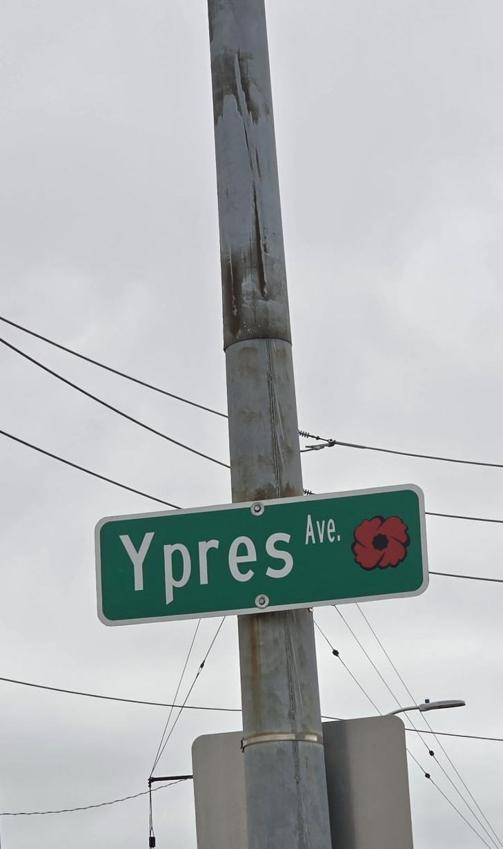
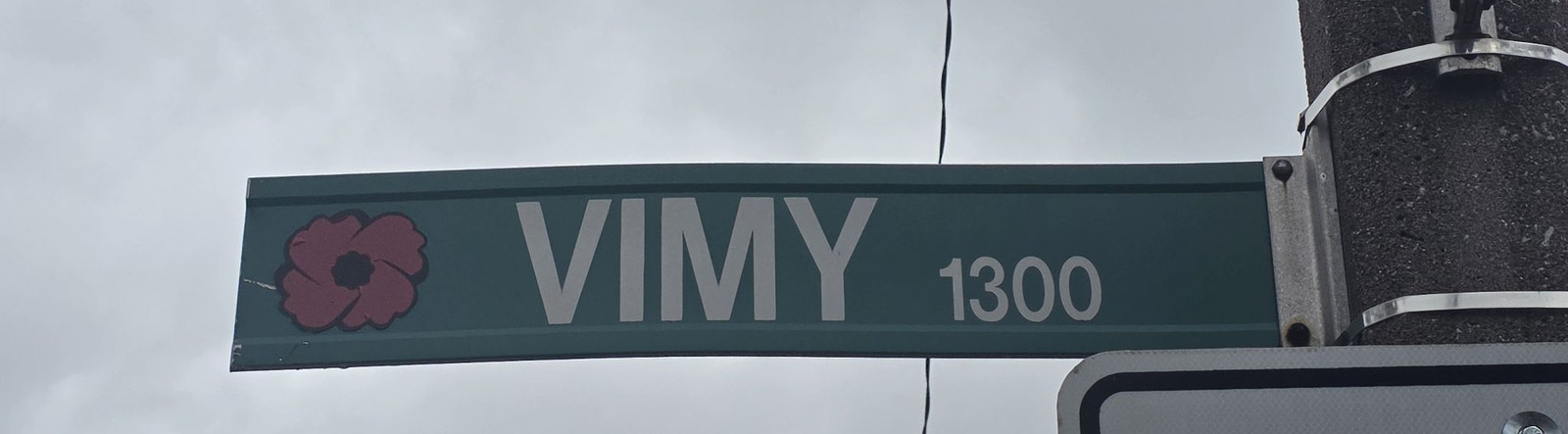
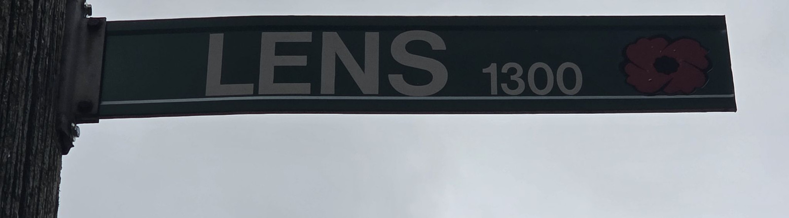
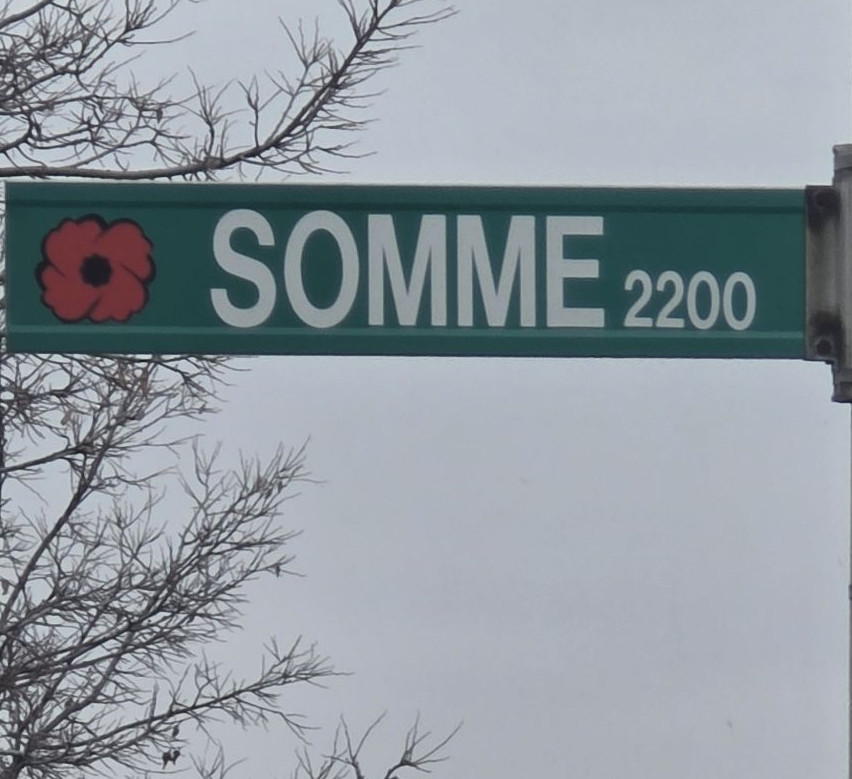
In 2005, the City of Windsor added poppy symbols to street signs for a number of streets named after battles Canadians fought in the world wars. The City's street-naming page lists Ypres, Vimy, Lens, Dieppe, Alsace, Lorraine, Arras, Amiens, St. Julien, Somme and Verdun. Museum Windsor has led a Great War walking tour of those South Walkerville signs.
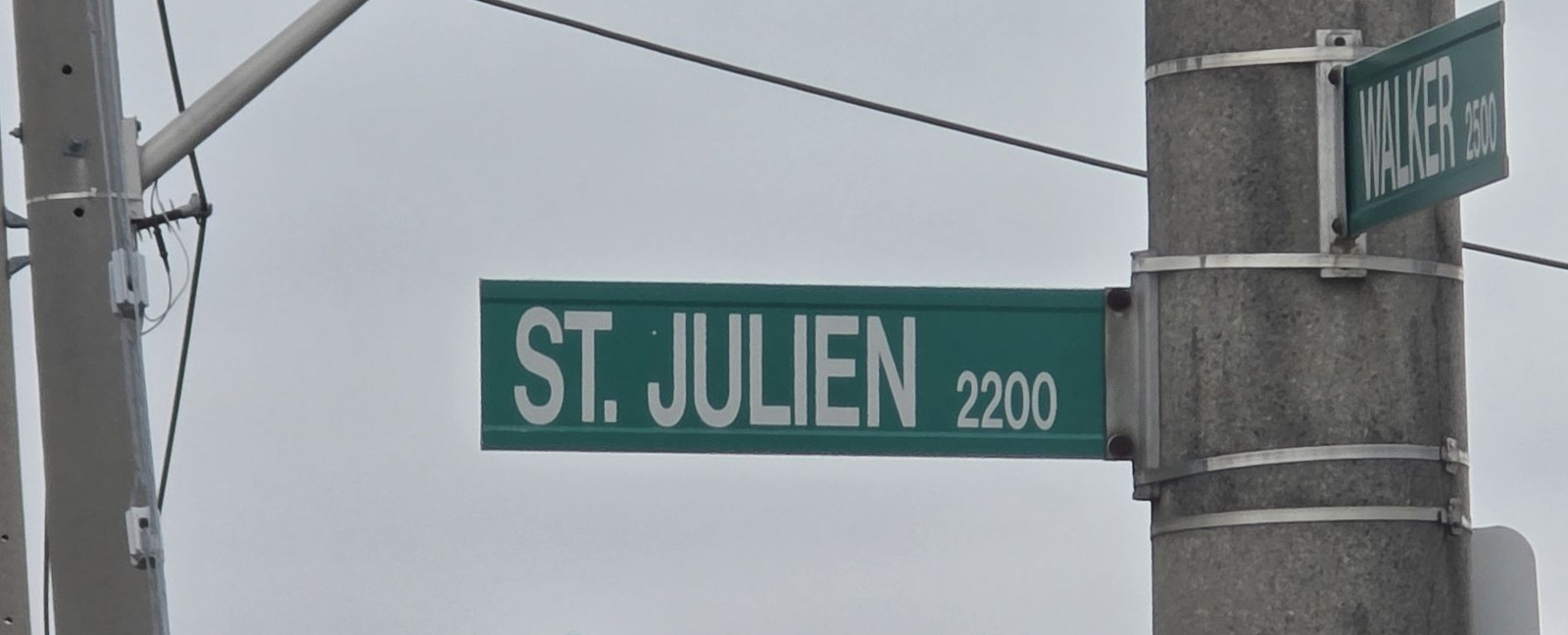
Photographs taken on 12 November 2026 show poppies on the Somme, Ypres, Vimy and Lens signs. The St. Julien Road sign at Walker Road, in the 2200 block, had no poppy that day. The City's list includes St. Julien among the streets marked with the poppy in 2005, so the name was not left off that list. This page records what that one blade showed. Other St. Julien signs were not photographed on this run.
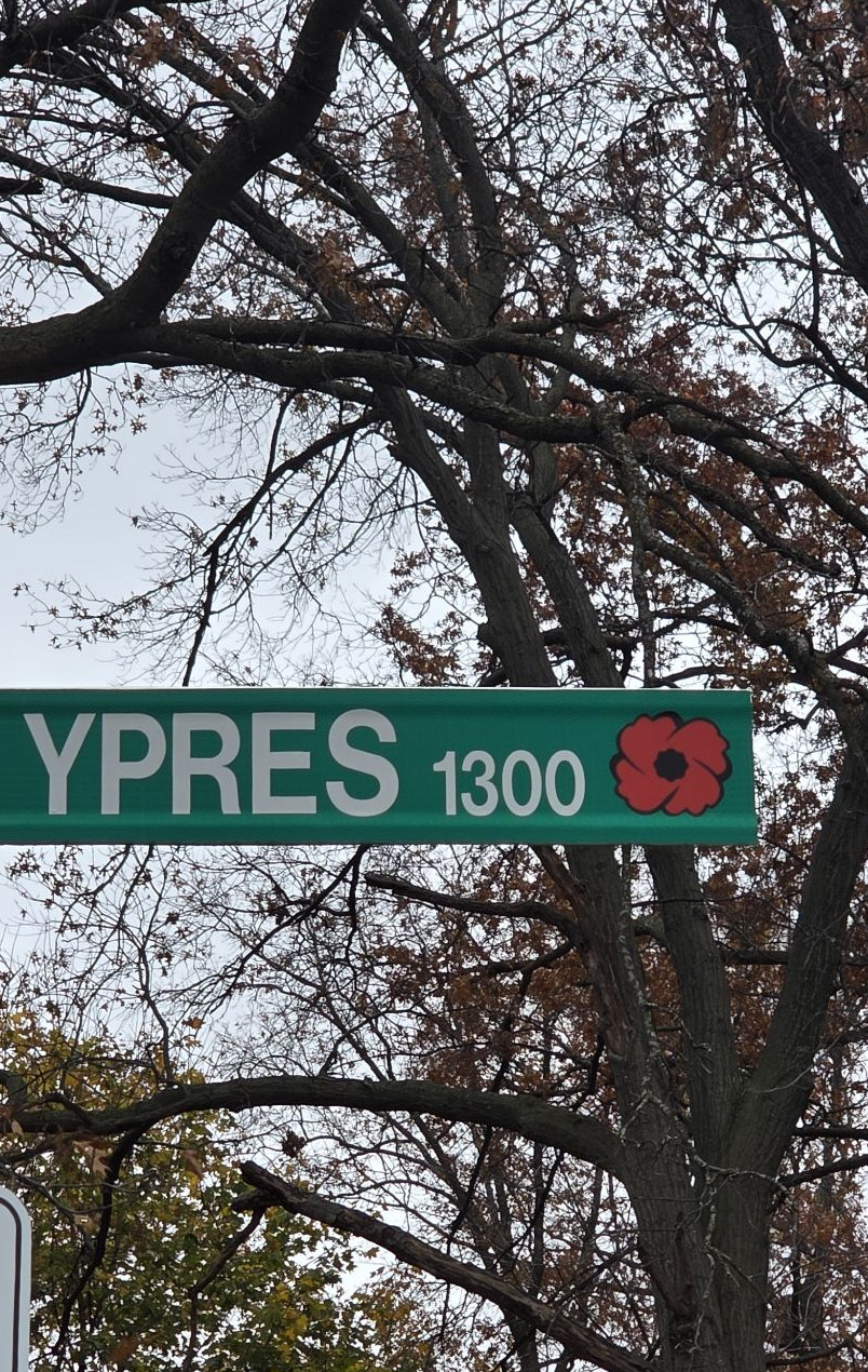
Ypres Avenue sign, 1300 block, 12 November 2026. This blade has a poppy. Photo by Kyle L. Stewart, Windsor NewsAn older-style Ypres Avenue sign, 12 November 2026. This blade also has a poppy. Photo by Kyle L. Stewart, Windsor NewsVimy sign, 1300 block, 12 November 2026. This blade has a poppy. Photo by Kyle L. Stewart, Windsor NewsLens sign, 1300 block, 12 November 2026. This blade has a poppy. Photo by Kyle L. Stewart, Windsor NewsSomme sign, 2200 block, 12 November 2026. This blade has a poppy. Photo by Kyle L. Stewart, Windsor NewsSt. Julien Road at Walker Road, 2200 block, 12 November 2026. This St. Julien blade has no poppy. Photo by Kyle L. Stewart, Windsor News
Photographs of the other listed poppy streets, Alsace, Lorraine, Verdun, Amiens, Arras and Dieppe, are still to come. Dieppe is planned for the next day of this run (stop 29). The remaining South Walkerville poppy blades were on the 12 November route and can be finished on a return pass.
Sources: City of Windsor, Street Naming and Municipal Addressing · City of Windsor Remembrance Day 2026 program, as already cited in our 6 November 2026 story · Photographs by Kyle L. Stewart, Windsor News, 12 November 2026
A to Z
Short entries for names we can verify. Cross-links lead to longer chapters. If a well-known story is missing here, it is because we could not back it to the standard set out at the bottom of the page.
A
Alsace Street, and Lorraine Street
City poppy streets, named after battles Canadians fought in the world wars. The City added poppies to these signs in 2005.
Local people connected with this battle are listed on War Chest, in Alsace.
Photograph pending. A poppy-sign photograph for Alsace is still to be taken.
Amiens Street
A City poppy street, named after a battle Canadians fought in the world wars.
Local people connected with this battle are listed on War Chest, in Amiens.
Photograph pending. A poppy-sign photograph for Amiens is still to be taken.
Arras Street
A City poppy street, named after a battle Canadians fought in the world wars.
Local people connected with this battle are listed on War Chest, in Arras.
Photograph pending. A poppy-sign photograph for Arras is still to be taken.
B
Baby Street
A French family name, as CBC notes among the farm-family streets that can look like English words. The street belongs with the Baby family already treated around the Duff-Baby House and the François Baby House. Historian Irene Moore Davis has also spoken about this name in the context of slaveholding among some early leading families. See Neighbourhoods, Then and now, and Freedom Shore.
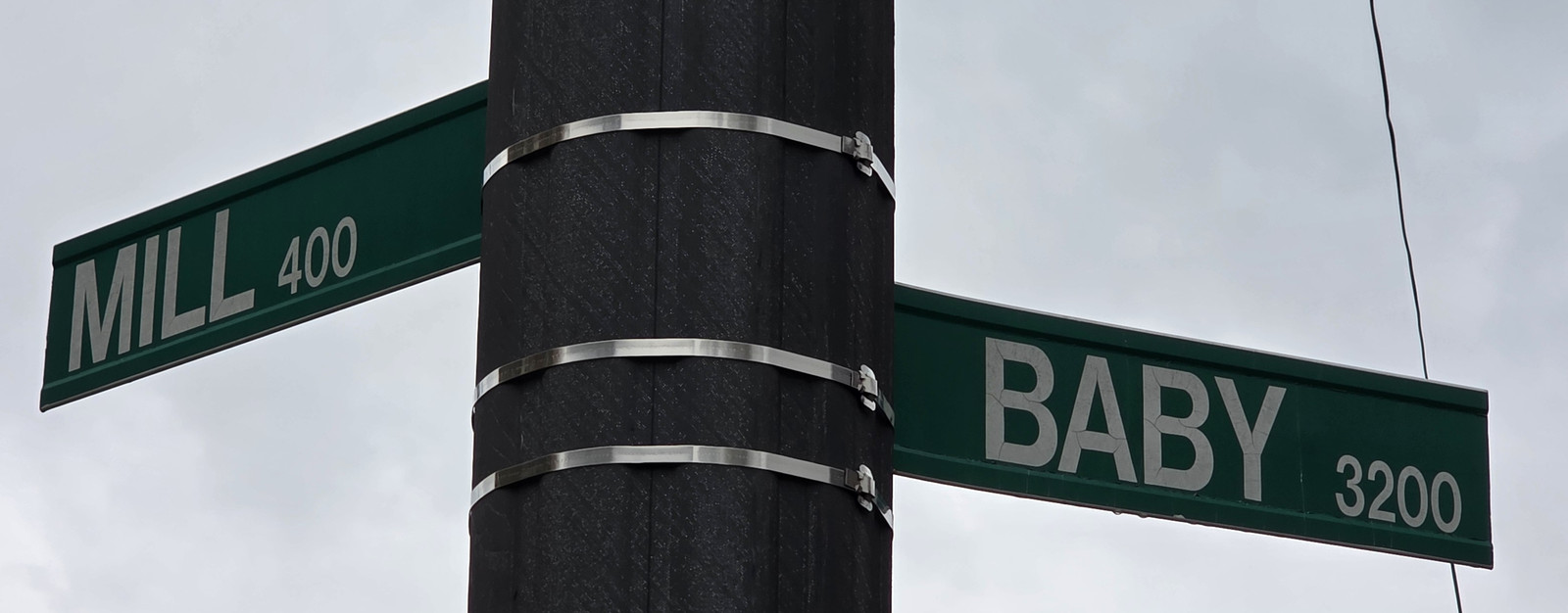
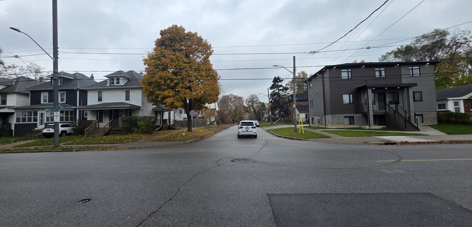
Baby and Mill street signs, 12 November 2026.Photo by Kyle L. Stewart, Windsor NewsBaby Street, Sandwich, 12 November 2026.Photo by Kyle L. Stewart, Windsor News
Bedford Street (historic)
Named by Peter Russell after his English homestead. It is now Sandwich Street. See Renamed streets.
Belleperche
The City of Windsor says this Riverside name honours early French settlers. See Neighbourhoods.
Photograph pending. A sign photograph is still to be taken, planned for the next day of this run (stop 27).
Brock Street
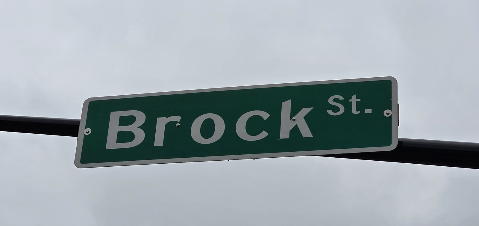
One of the original streets on the 1797 Sandwich town plan. With Bedford, later Sandwich Street, it formed the Four Corners reserved for the courthouse and jail, St. John's Anglican Church, a school and a public meeting house. In 1915 the school on that reserve was named after Major-General Sir Isaac Brock. We have not found a City sentence that says the street itself was named for Brock, so the entry stops at the town plan and the school.
Brock Street sign, 12 November 2026.Photo by Kyle L. Stewart, Windsor News
D
Dieppe Street
A City poppy street, named after a battle Canadians fought in the world wars.
Local people connected with this battle are listed on War Chest, in Dieppe.
Photograph pending. A poppy-sign photograph for Dieppe is still to be taken, planned for the next day of this run (stop 29).
Dougall Avenue
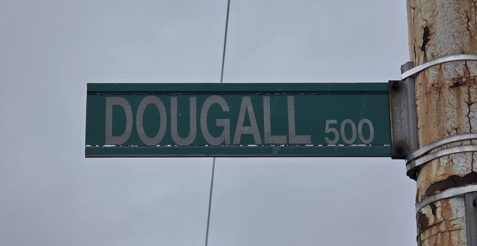
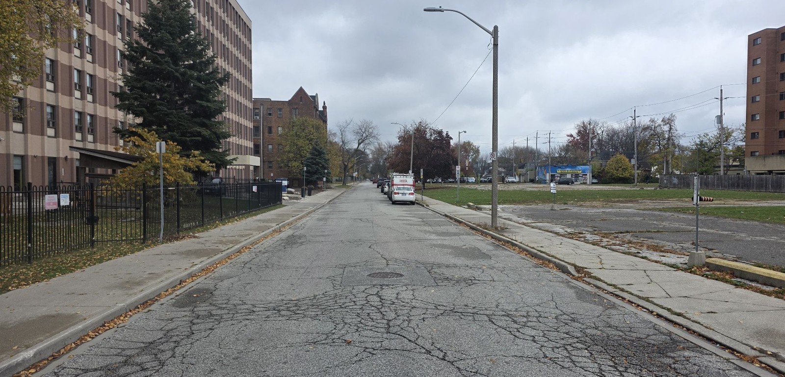
Laid out with Victoria Avenue by James Dougall, the Scottish merchant who opened a general store after arriving in 1830, served as mayor, and is credited in the Dictionary of Canadian Biography with the tradition of choosing the name Windsor in 1836. The City's Victoria Avenue Walking Tour treats both Dougall and Victoria Avenues as his. See also Victoria Avenue.
Dougall Avenue sign, 500 block, 12 November 2026.Photo by Kyle L. Stewart, Windsor NewsDougall Avenue, looking south, 12 November 2026.Photo by Kyle L. Stewart, Windsor News
Drouillard Road
Takes its name from a French farm family in what became Ford City. The City's Ford City Walking Tour records that François Drouillard donated land in 1884 for the parish of Notre Dame du Lac, later Our Lady of the Rosary. We do not, from that donation alone, claim the road was named for that gift. See Neighbourhoods.
Photograph pending. A sign photograph is still to be taken, planned for the next day of this run (stop 23).
E
Erie Street
The main street of Via Italia, also called Windsor's Little Italy. See Historic areas. The meaning of the name Erie itself is not verified here.
F
Ferry Street
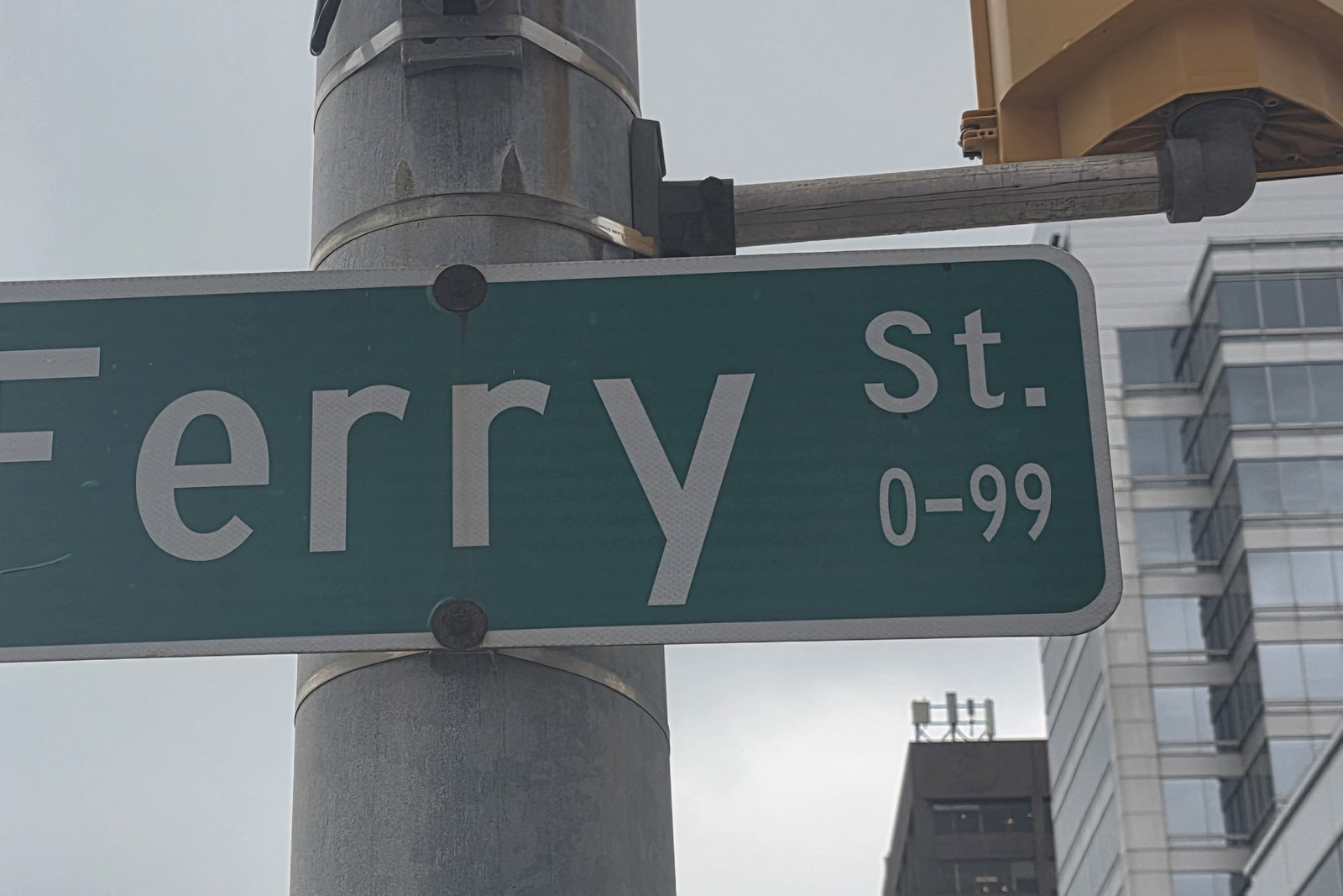
A walking tour led by Marcel Bénéteau, written up in 2010, placed the ferry dock at the foot of Ferry Street. The early settlement around that landing was known as the Ferry. The City's Victoria Avenue Walking Tour describes how James Dougall had Victoria and Dougall Avenues stop at Chatham Street, so traffic was channelled north on Ferry Street to the front door of his shop. See Neighbourhoods and Rails, Ferries and Crossings.
Ferry Street sign, 12 November 2026.Photo by Kyle L. Stewart, Windsor News
François Street
Named in the City's Settlement and Diversity text among street names that reflect early French heritage, alongside Ouellette and Pelissier.
Photograph pending. A sign photograph is still to be taken, planned for the next day of this run (stop 24).
G
Goyeau Street
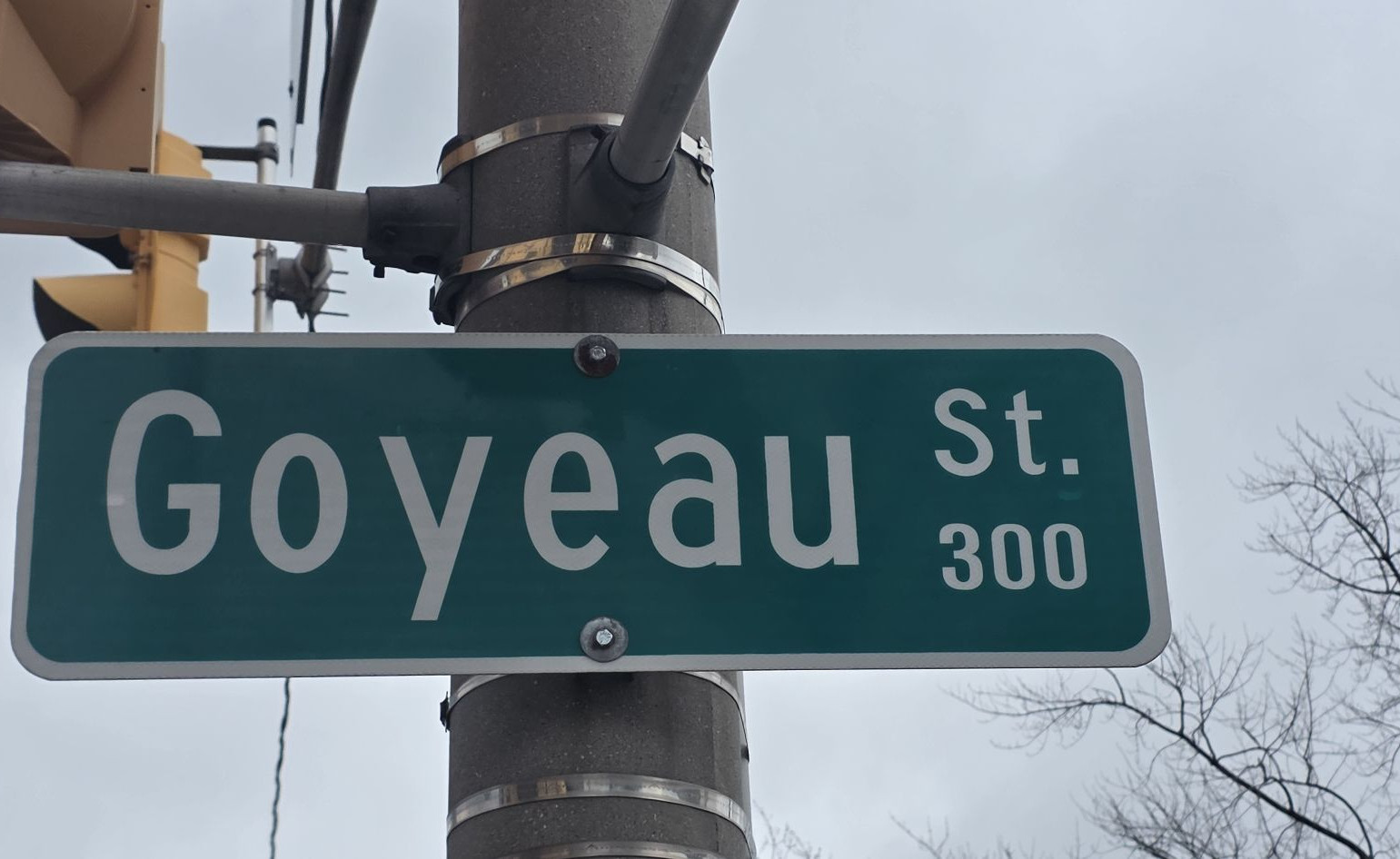
On the University of Windsor DailyNews list of streets that bear the names of original French farmers. The same 2014 article records a mid-eighteenth-century contract between Jean-Baptiste Goyau and Father Pierre Potier, and notes that the contract also provided an annual salary for Goyau's wife to do the laundry at the Assumption mission. A 2010 walking tour led by professor Marcel Bénéteau identified Jean-Baptiste Goyau as a Detroiter who agreed to live on the south shore and care for the crops and livestock of the Huron mission. We keep the personal name as Goyau, the spelling used in those accounts, while the street is spelled Goyeau.
Goyeau Street sign, 300 block, 12 November 2026.Photo by Kyle L. Stewart, Windsor News
Grand Marais Road
A descriptive name, "big marsh," as explained by CBC News. The road still runs alongside wetlands.
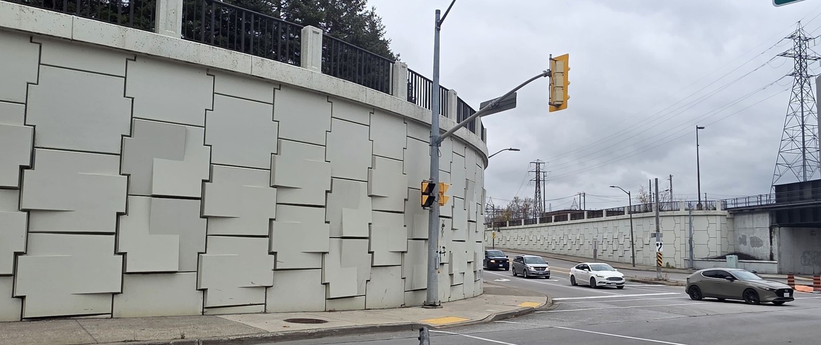
Grand Marais Road East sign, 12 November 2026.Photo by Kyle L. Stewart, Windsor NewsWalker Road underpass at Grand Marais Road, 12 November 2026.Photo by Kyle L. Stewart, Windsor News
H
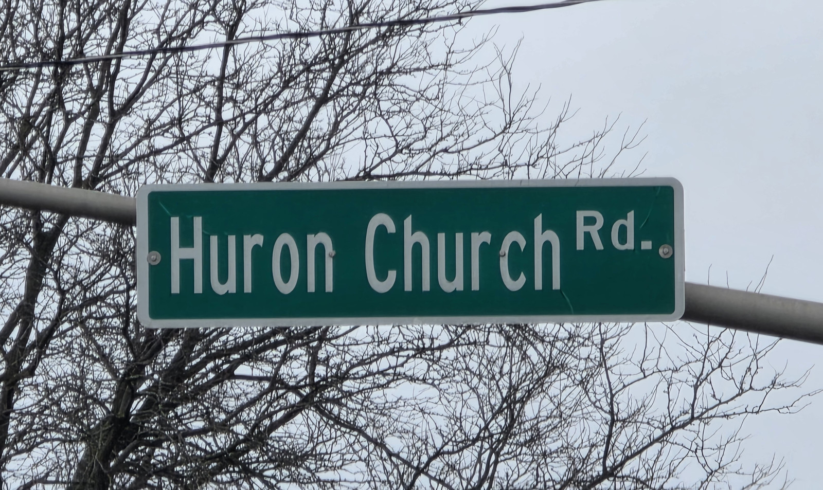
Huron Church Road
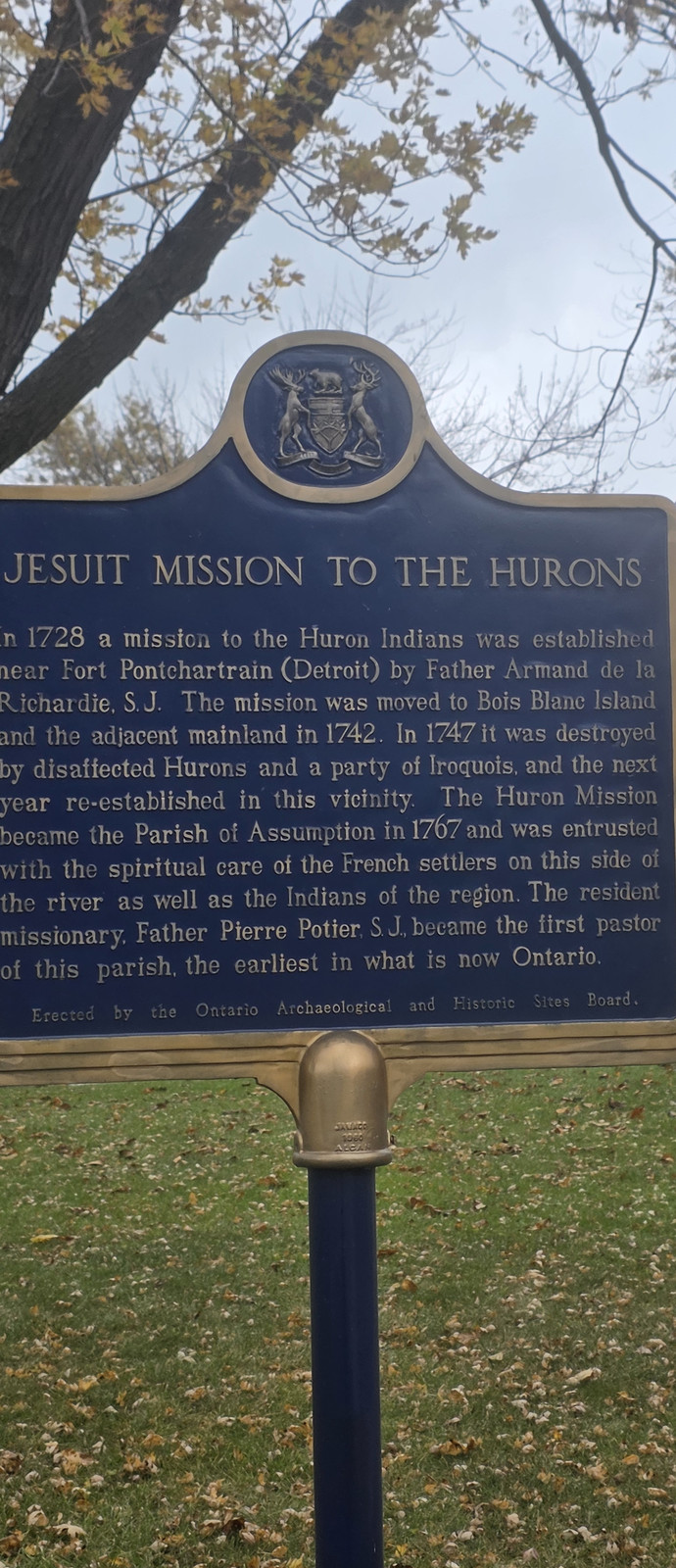
The name belongs with the Mission of Our Lady of the Assumption Among the Hurons and with the Huron Church Reserve. The City's History of Sandwich records the Jesuit mission on the south shore, the 1790 reserve, and Peter Russell's later purchase of the remaining reserve land before the town of Sandwich was laid out. Assumption Church still stands at Huron Church Road and the river. See Nations of the Strait and The French Shore.
Huron Church Road sign, 12 November 2026.Photo by Kyle L. Stewart, Windsor NewsJesuit Mission to the Hurons plaque, 12 November 2026. The plaque says a mission was established in 1728 near Fort Pontchartrain (Detroit) by Father Armand de la Richardie, S.J., was moved to Bois Blanc Island in 1742, destroyed in 1747, and re-established in this vicinity. It became the Parish of Assumption in 1767. Father Pierre Potier, S.J., became the first pastor of this parish, the earliest in what is now Ontario. Erected by the Ontario Archaeological and Historic Sites Board. Photo by Kyle L. Stewart, Windsor News
L
Langlois Avenue
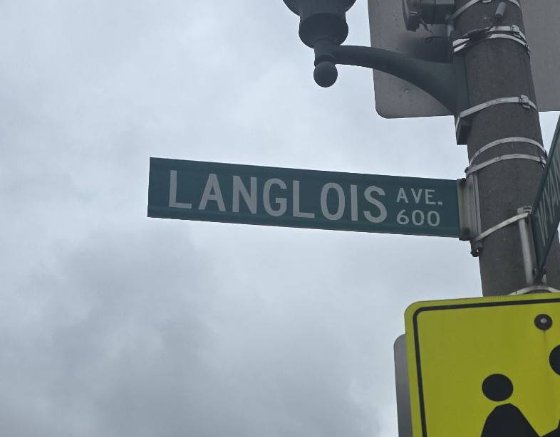
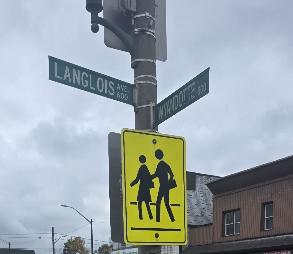
A French farm-family name. CBC discusses it among those streets, and Bénéteau named it on his 2010 walking tour of pioneering families whose farms ran from the river to Tecumseh Road.
Langlois Avenue sign, 600 block, 12 November 2026.Photo by Kyle L. Stewart, Windsor NewsLanglois Avenue at Wyandotte Street, 12 November 2026.Photo by Kyle L. Stewart, Windsor News
Lauzon
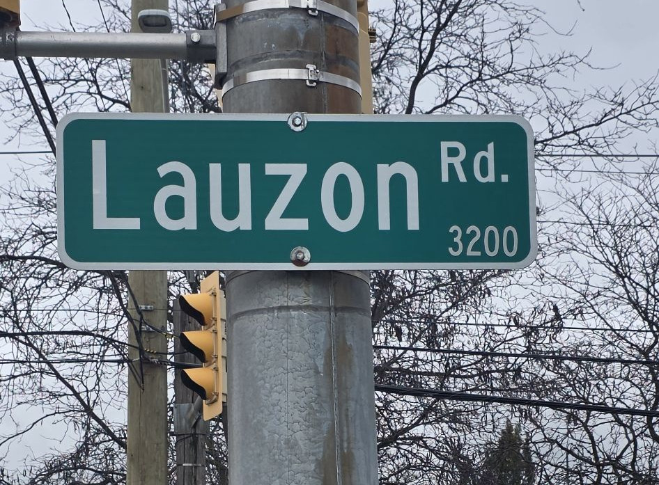
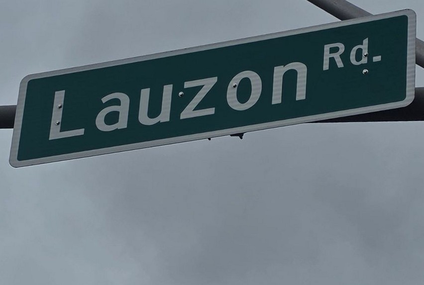
Named in the University of Windsor DailyNews and CBC lists of French farm families, and, the City says, one of the Riverside names that honour early French settlers.
Lauzon Road sign, 3200 block, 12 November 2026.Photo by Kyle L. Stewart, Windsor NewsLauzon Road overhead sign, 12 November 2026.Photo by Kyle L. Stewart, Windsor News
Lens Street
A City poppy street, named after a battle Canadians fought in the world wars.
Local people connected with this battle are listed on War Chest, in Lens.
Named by Marcel Bénéteau, on the 2010 walking tour, among the significant French street names of pioneering families with farms running back from the river.
Photograph pending. A sign photograph is still to be taken, planned for the next day of this run (stop 30).
London Street (historic)
The earlier name of University Avenue. See Renamed streets.
Lorraine Street
A City poppy street, named after a battle Canadians fought in the world wars. See Alsace Street.
Local people connected with this battle are listed on War Chest, in Lorraine.
Photograph pending. A poppy-sign photograph for Lorraine is still to be taken.
Lot Street (historic)
Renamed Watkins Street in 1963. See Watkins Street.
Louis Avenue
On the University of Windsor DailyNews list of downtown streets that bear the names of original French farmers.
Louis Avenue sign and a Via Italia banner, 12 November 2026.Photo by Kyle L. Stewart, Windsor News
M
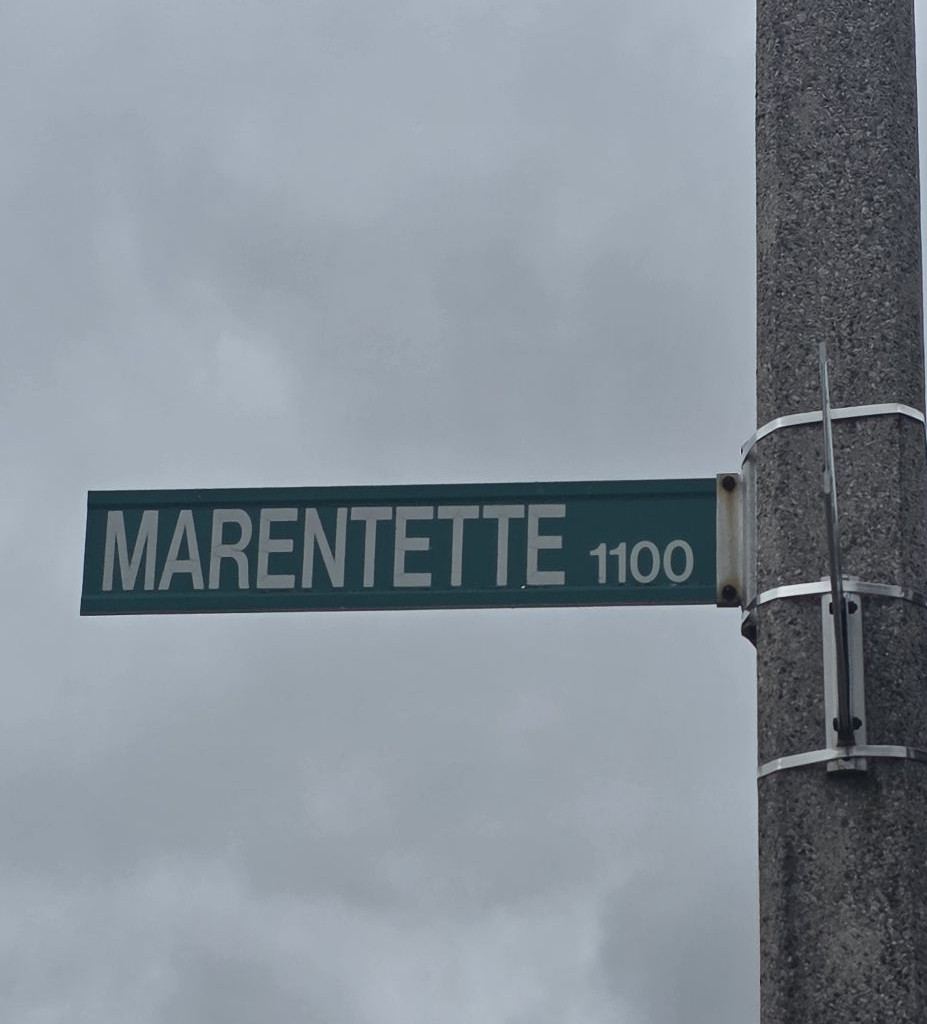
Marentette Avenue
On the University of Windsor DailyNews list of original French farmers' streets, and named by Bénéteau on the 2010 tour. CBC also notes that locals tend to keep a French pronunciation of Marentette.
Marentette Avenue sign, 1100 block, 12 November 2026.Photo by Kyle L. Stewart, Windsor News
Mercer
On the University of Windsor DailyNews list of downtown streets that bear the names of original French farmers.
Photograph pending. A sign photograph was on the route at Erie Street and has not yet been taken.
O
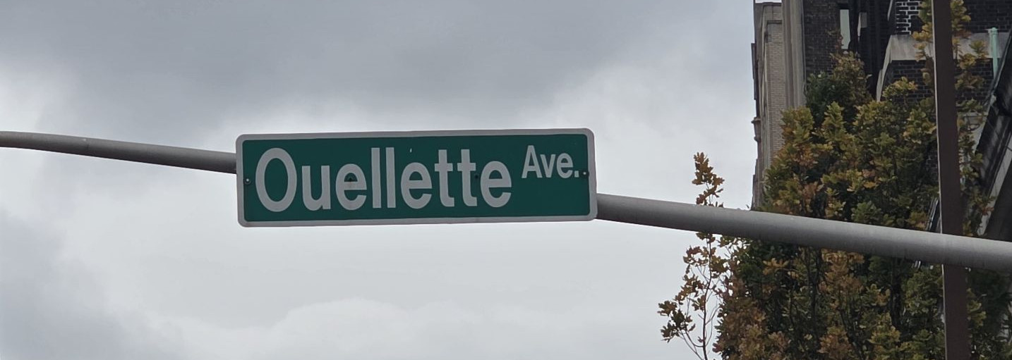
Ouellette Avenue
One of the French family names on the downtown grid, listed as such by the University of Windsor DailyNews, CBC News, and the City's Settlement and Diversity text. Vital Ouellette owned the riverfront strip near where the avenue later ran. A 2010 walking tour led by Marcel Bénéteau described how, in 1854, he would not sell that land to the Great Western Railway, and how the railway terminus was then built where Riverside and Ouellette meet. Southwestern Ontario Digital Archive captions also identify Vital Ouellette's house on the avenue. We treat that as the family and the lot, and as Vital's documented place on the street. We have not found a City or archive sentence that uses the formal words "named for Vital Ouellette," so we do not add that phrase.
A then-and-now pair of Ouellette Avenue, and other historic views of the street, are already published on Then and now, on the Rose City Roots entrance, and on Neighbourhoods. Those photographs are not repeated here.
Ouellette Avenue sign, 12 November 2026.Photo by Kyle L. Stewart, Windsor News
Ottawa Street, in old Riverside
On that stretch, the City's Main Streets plan says present-day Wyandotte Street East was once Ottawa Street. Ottawa Street remains a separate street elsewhere in Windsor. See Renamed streets.
P
Parent Avenue
On the University of Windsor DailyNews list, and named by Bénéteau on the 2010 tour. CBC notes that Parent also matches an English noun, which can hide the French family name.
Photograph pending. A sign photograph was on the route at Erie Street and has not yet been taken.
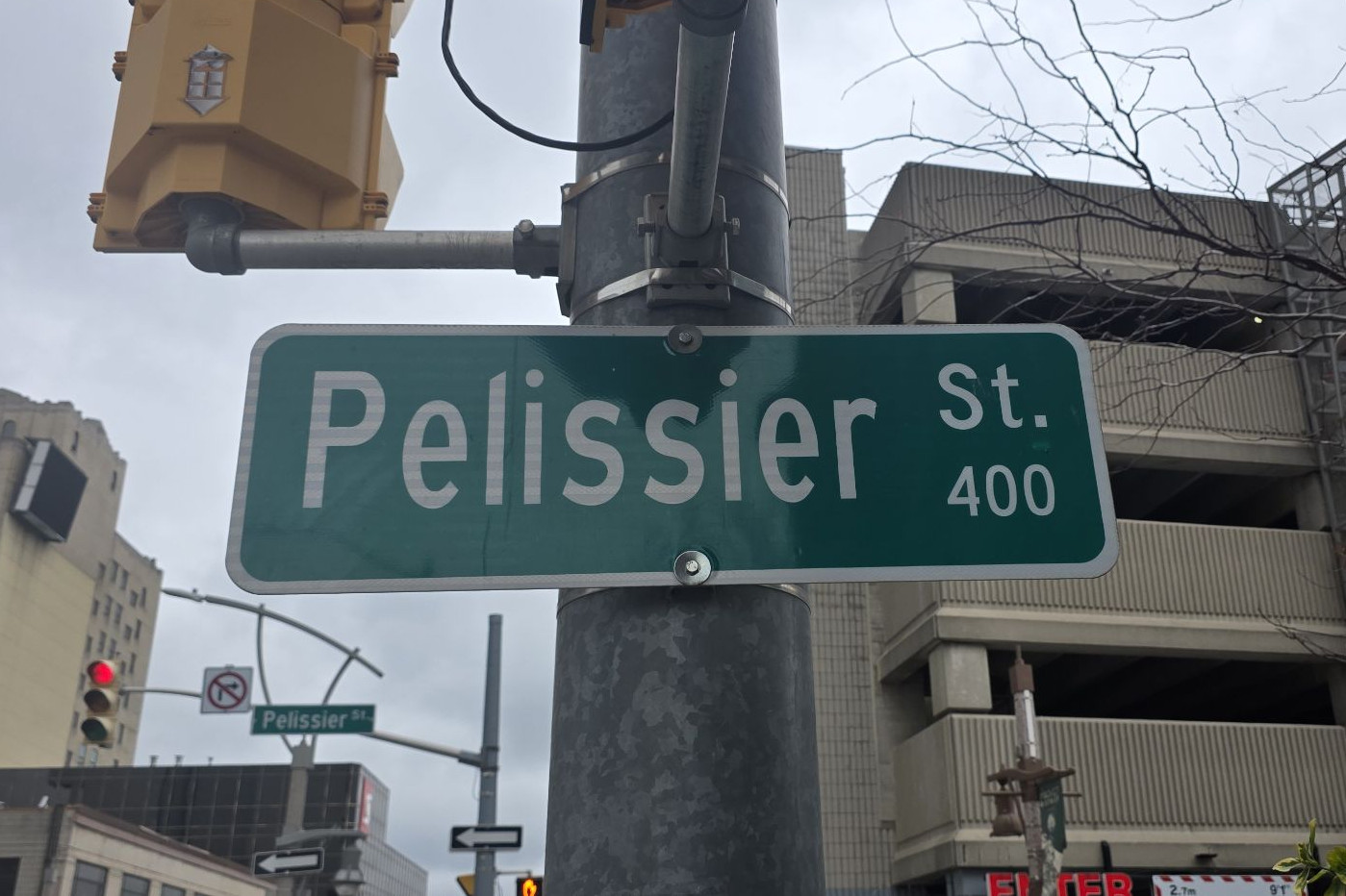
Pelissier Street
Named in the same group of French farm-family streets by the University of Windsor DailyNews, CBC News, and the City's Settlement and Diversity text. CBC also discusses how Windsorites pronounce the name. We have not found a reliable first name or a single biography to attach to the street, so the claim stops at the family name.
Pelissier Street sign, 400 block, 12 November 2026.Photo by Kyle L. Stewart, Windsor News
Peter Street
Historian Irene Moore Davis, president of the Essex County Black Historical Research Society, identifies Peter Street and Russell Street as taking the given name and surname of Peter Russell, who bought land from the Hurons and laid out Sandwich. That matches the City's account that Russell named the main streets after himself and his homestead, Bedford. Moore Davis has also stated that Russell was a slave owner. The City's History of Sandwich records that slavery was legal in the region under both French and British rule.
Pierre Avenue
On the University of Windsor DailyNews list of original French farmers' streets. CBC discusses the local pronunciation of the name.
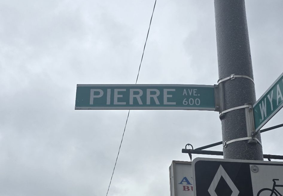
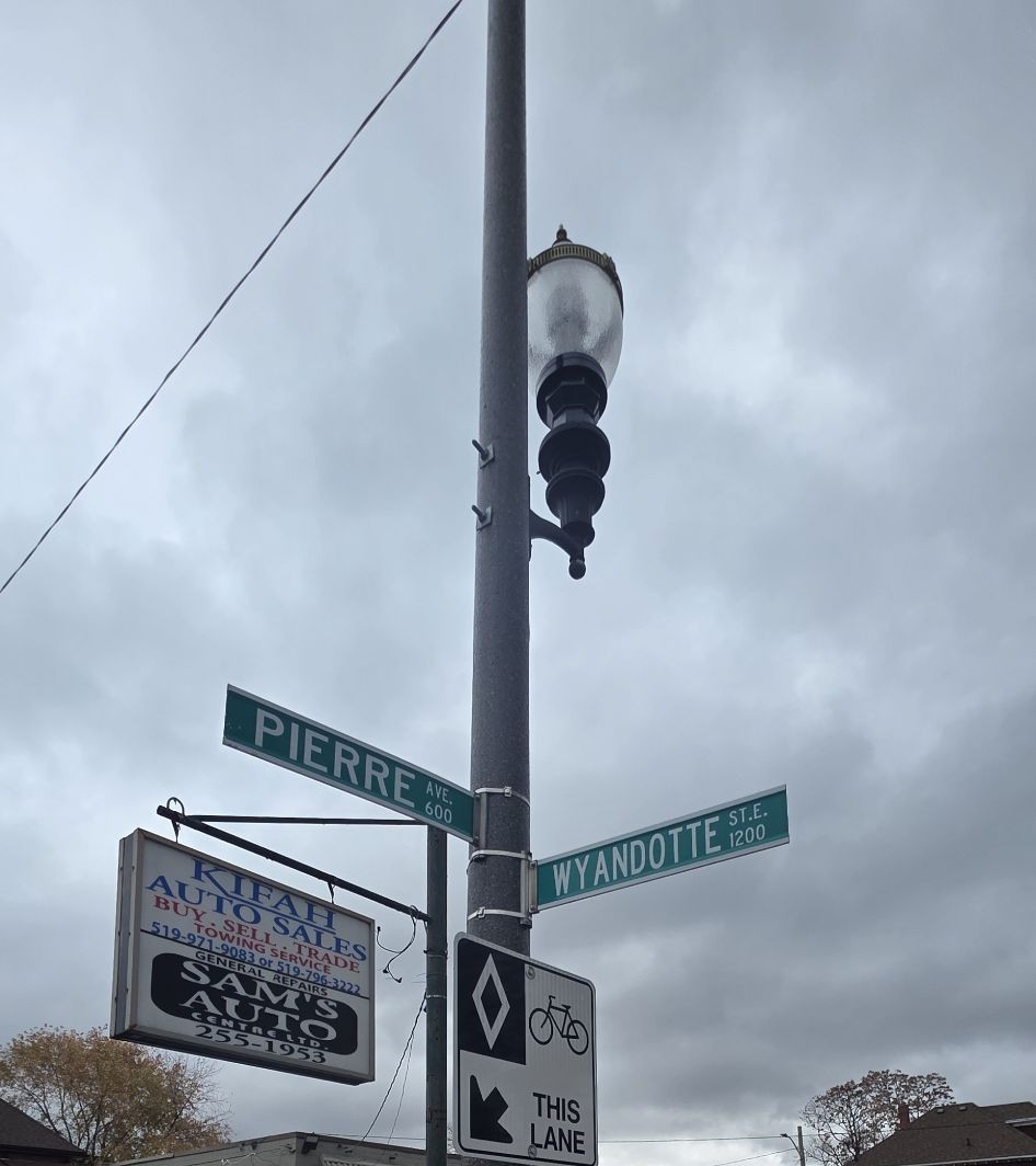
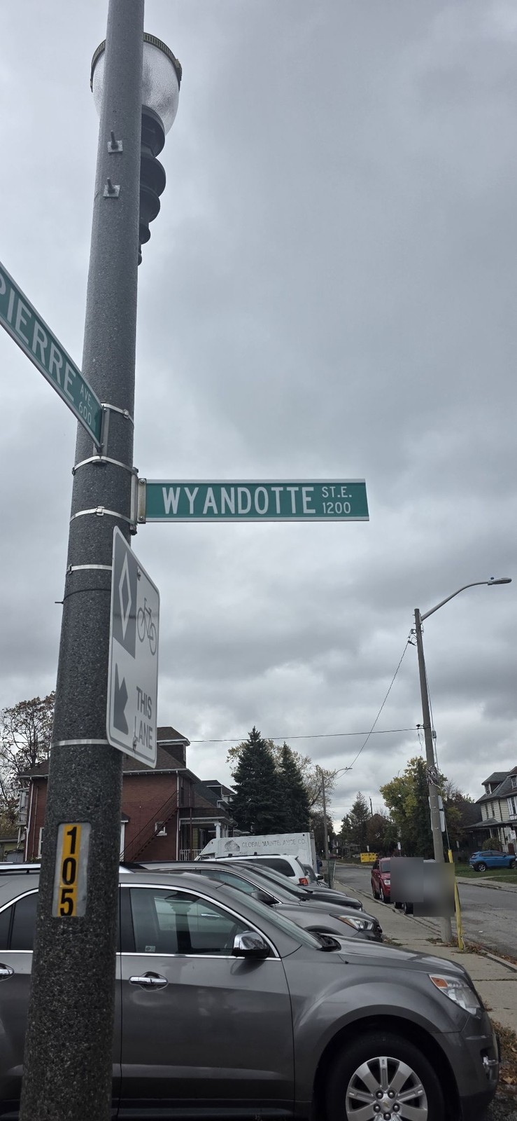
Pierre Avenue sign, 600 block, 12 November 2026.Photo by Kyle L. Stewart, Windsor NewsPierre Avenue at Wyandotte Street, 12 November 2026.Photo by Kyle L. Stewart, Windsor NewsPierre Avenue, 600 block, at Wyandotte Street East, 1200 block, 12 November 2026.Photo by Kyle L. Stewart, Windsor News
R
Riverside Drive
Along the Windsor riverfront, this is the later name of Sandwich Street. See Renamed streets. The Town of Riverside is a separate place name, treated under Historic areas.
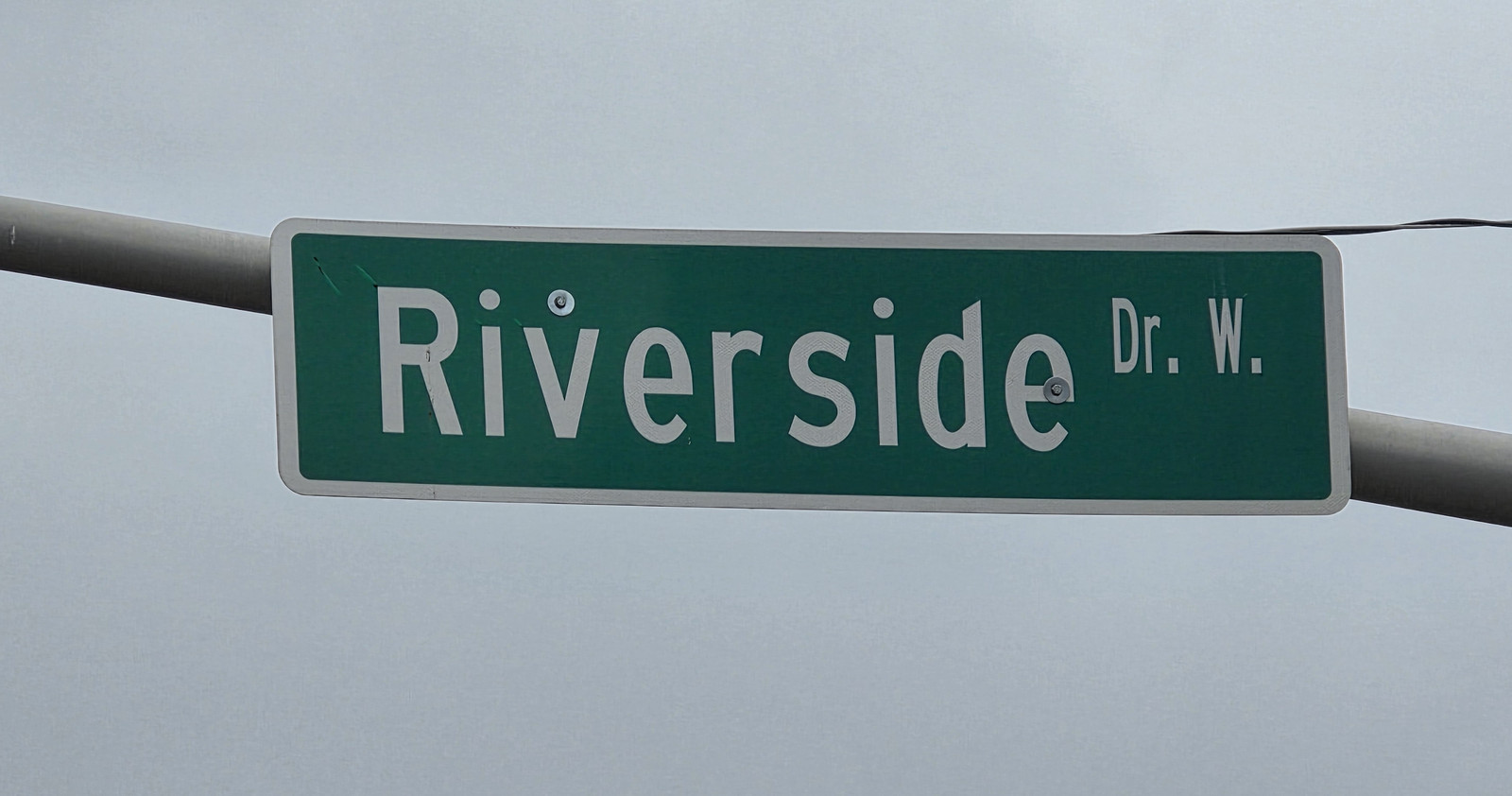
Riverside Drive West sign, 12 November 2026.Photo by Kyle L. Stewart, Windsor News
Russell Street
Named for Peter Russell, who laid out Sandwich and, the City says, named the main streets after himself and his homestead. See Peter Street.
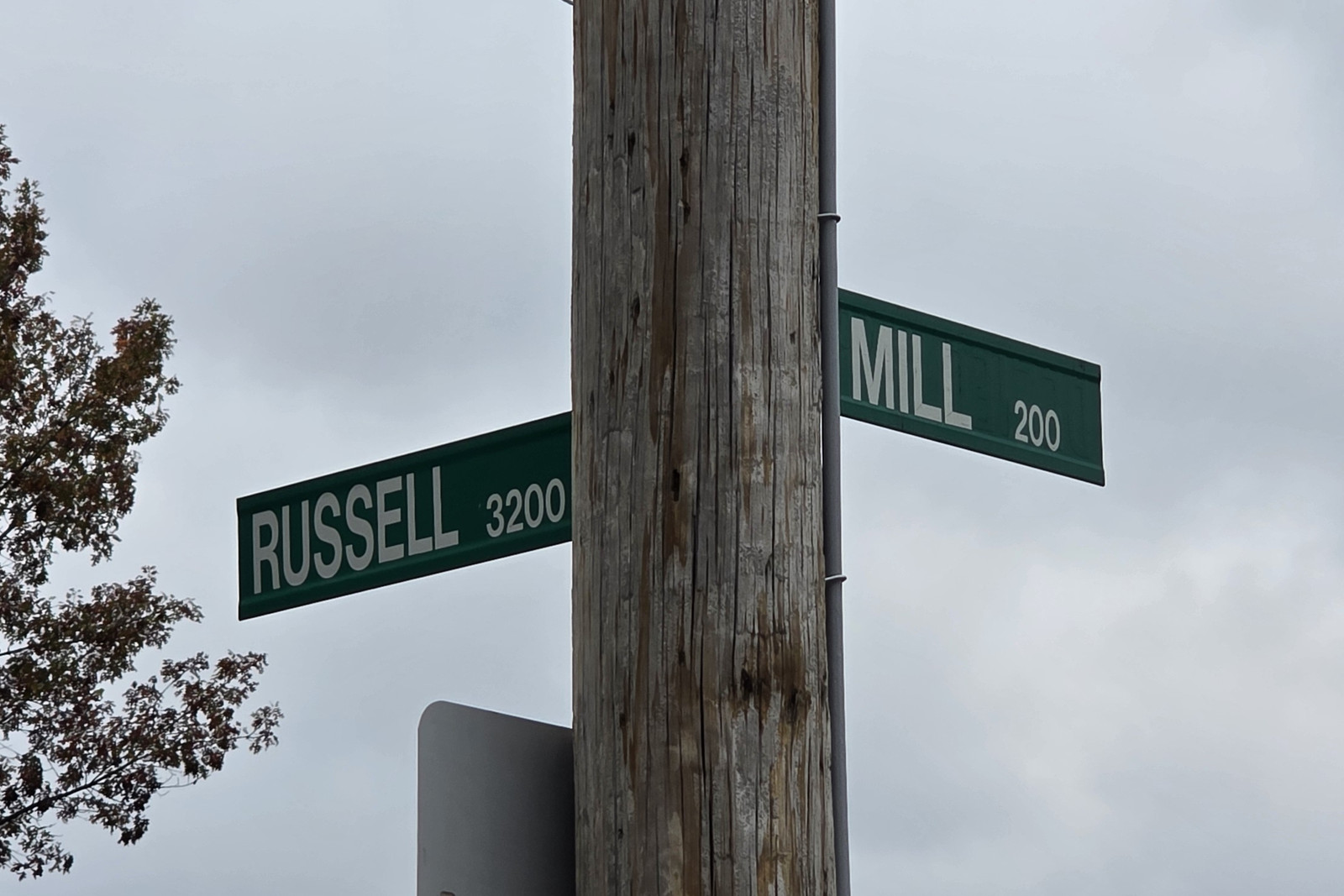
Russell and Mill street signs, 12 November 2026.Photo by Kyle L. Stewart, Windsor News
S
St. Julien Road
A City poppy street, named after a battle Canadians fought in the world wars.
Local people connected with this battle are listed on War Chest, in St. Julien.
Named by Marcel Bénéteau, on the 2010 walking tour, among the significant French street names of pioneering families.
Photograph pending. A sign photograph is still to be taken, planned for the next day of this run (stop 26).
Sandwich Street
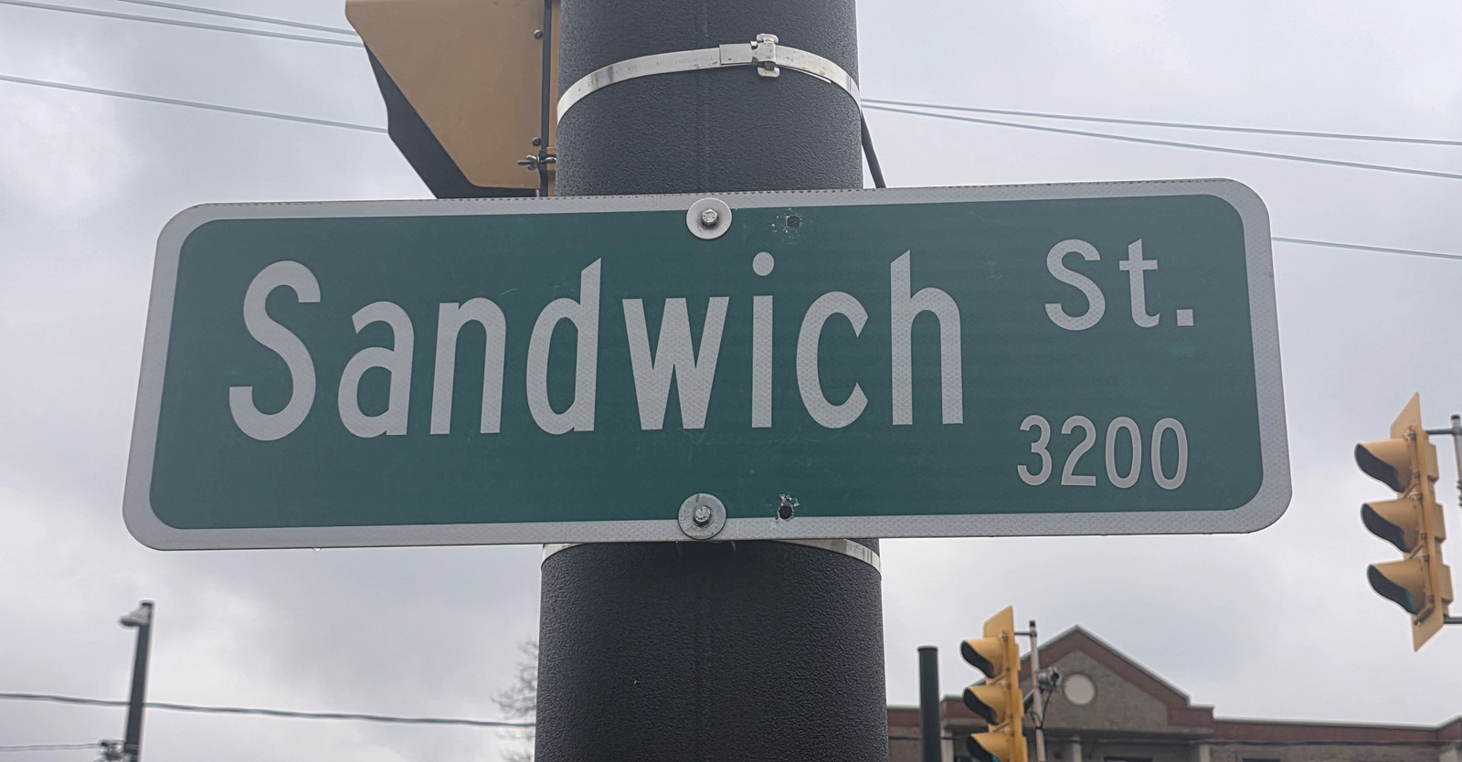
Takes its name from the Town of Sandwich. In the old town it was earlier called Bedford Street. Along the Windsor riverfront, Sandwich Street later became Riverside Drive. A historic view is already on Neighbourhoods and on the Timeline.
Sandwich Street sign, 3200 block, 12 November 2026.Photo by Kyle L. Stewart, Windsor News
Somme Avenue
A City poppy street, named after a battle Canadians fought in the world wars.
Local people connected with this battle are listed on War Chest, in Somme.
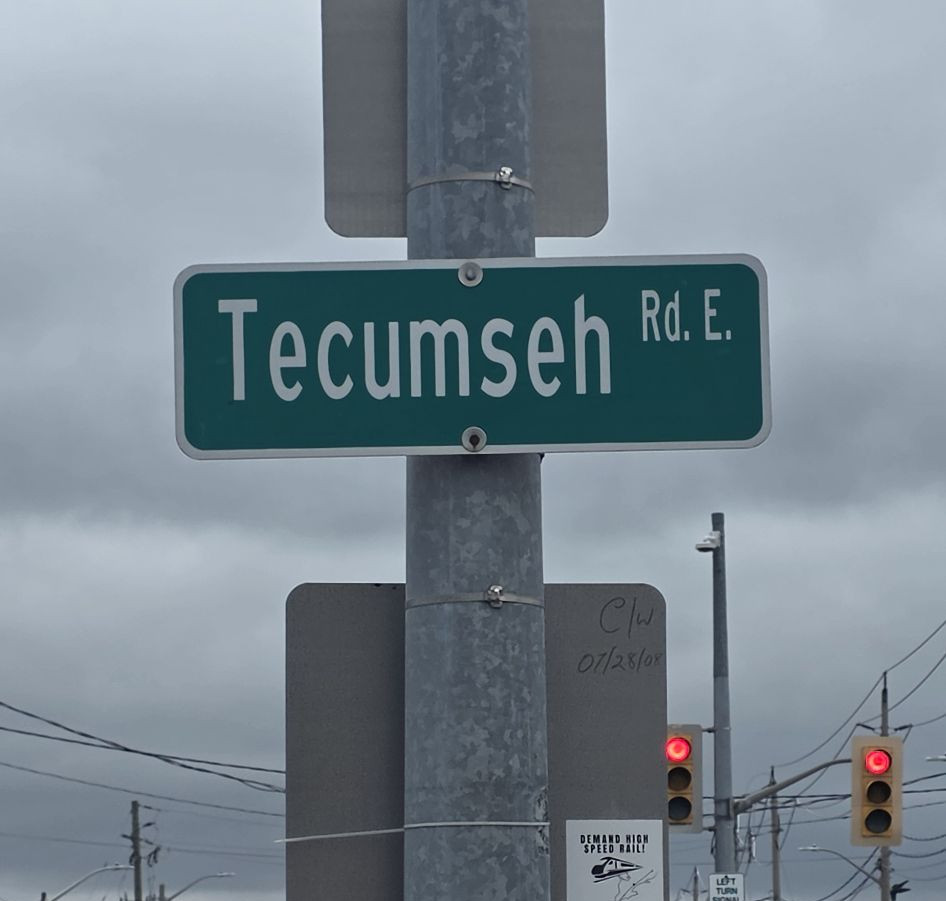
The Town of Tecumseh's official history says Tecumseh Road was created in 1838, and that the nearby settlement, once called Ryegate, was renamed Tecumseh in 1912 in honour of the Shawnee leader Tecumseh, who was killed in the War of 1812. We report both facts. We have not found a sentence in that official history, or in the other sources checked here, that says the road itself was named for the chief, so we do not add that claim. See War on the River.
Tecumseh Road East sign, 12 November 2026.Photo by Kyle L. Stewart, Windsor News
U
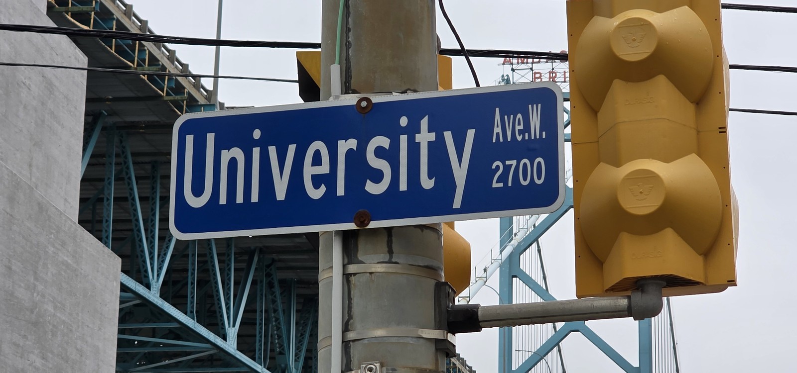
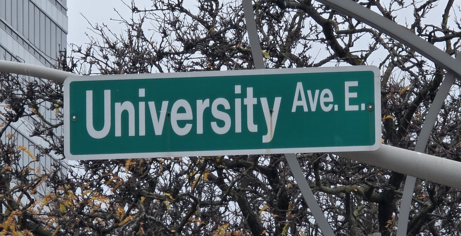
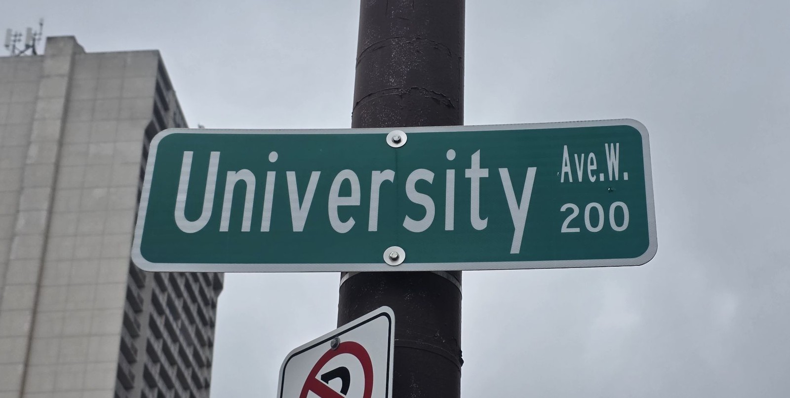
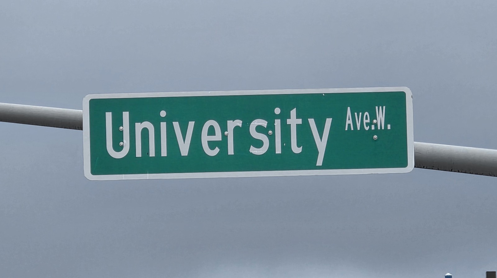
University Avenue
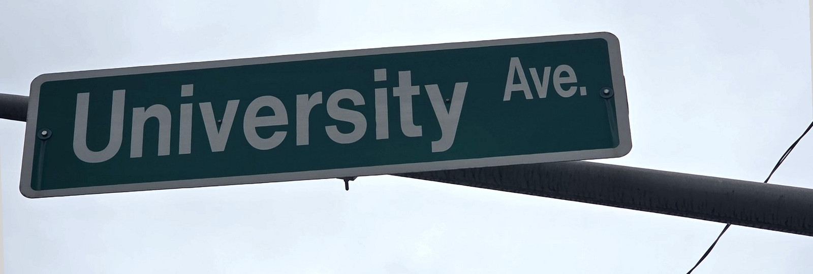
Formerly London Street. See Renamed streets.
University Avenue sign, 12 November 2026.Photo by Kyle L. Stewart, Windsor NewsUniversity Avenue West, with the Ambassador Bridge in the background, 12 November 2026.Photo by Kyle L. Stewart, Windsor NewsUniversity Avenue East sign, 12 November 2026.Photo by Kyle L. Stewart, Windsor NewsUniversity Avenue West sign, 200 block, 12 November 2026.Photo by Kyle L. Stewart, Windsor NewsUniversity Avenue West sign, 12 November 2026.Photo by Kyle L. Stewart, Windsor News
V
Verdun Street
A City poppy street, named after a battle Canadians fought in the world wars.
Local people connected with this battle are listed on War Chest, in Verdun.
Photograph pending. A poppy-sign photograph for Verdun is still to be taken.
Victoria Avenue
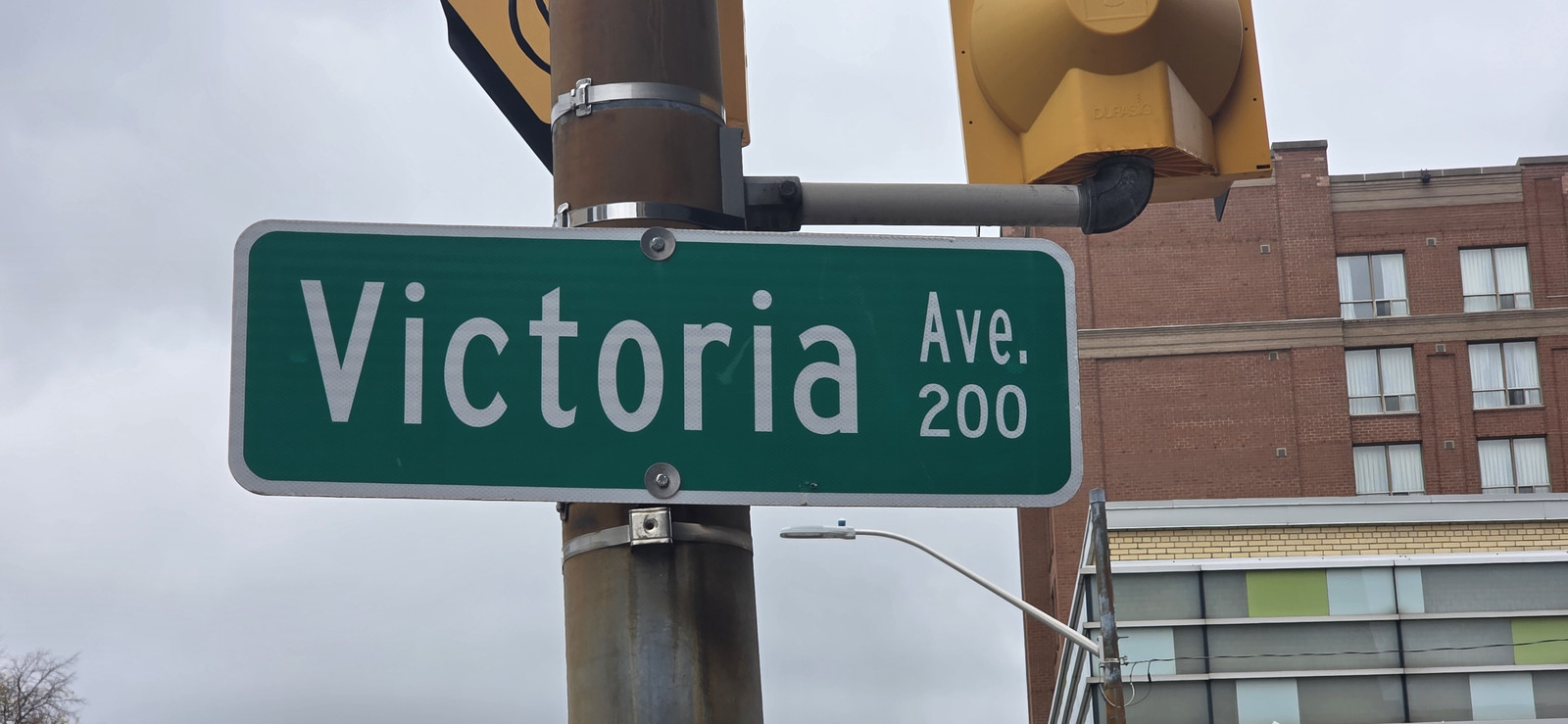
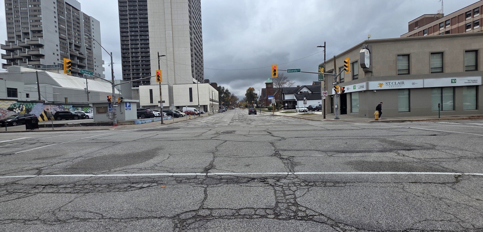
The City's Victoria Avenue Walking Tour says James Dougall developed the street and that it was named for his daughter, not for Queen Victoria. He had both Victoria and Dougall Avenues terminate at Chatham Street. See Dougall Avenue.
Victoria Avenue sign, 200 block, 12 November 2026.Photo by Kyle L. Stewart, Windsor NewsVictoria Avenue, looking south, 12 November 2026.Photo by Kyle L. Stewart, Windsor News
Villaire
Named by Marcel Bénéteau, on the 2010 walking tour, among the significant French street names of pioneering families.
Photograph pending. A sign photograph is still to be taken, planned for the next day of this run (stop 26).
Vimy Road
A City poppy street, named after a battle Canadians fought in the world wars.
Local people connected with this battle are listed on War Chest, in Vimy.
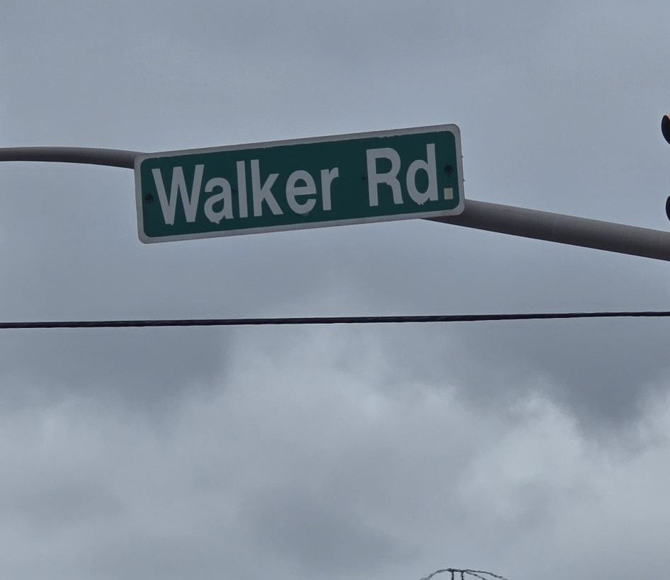
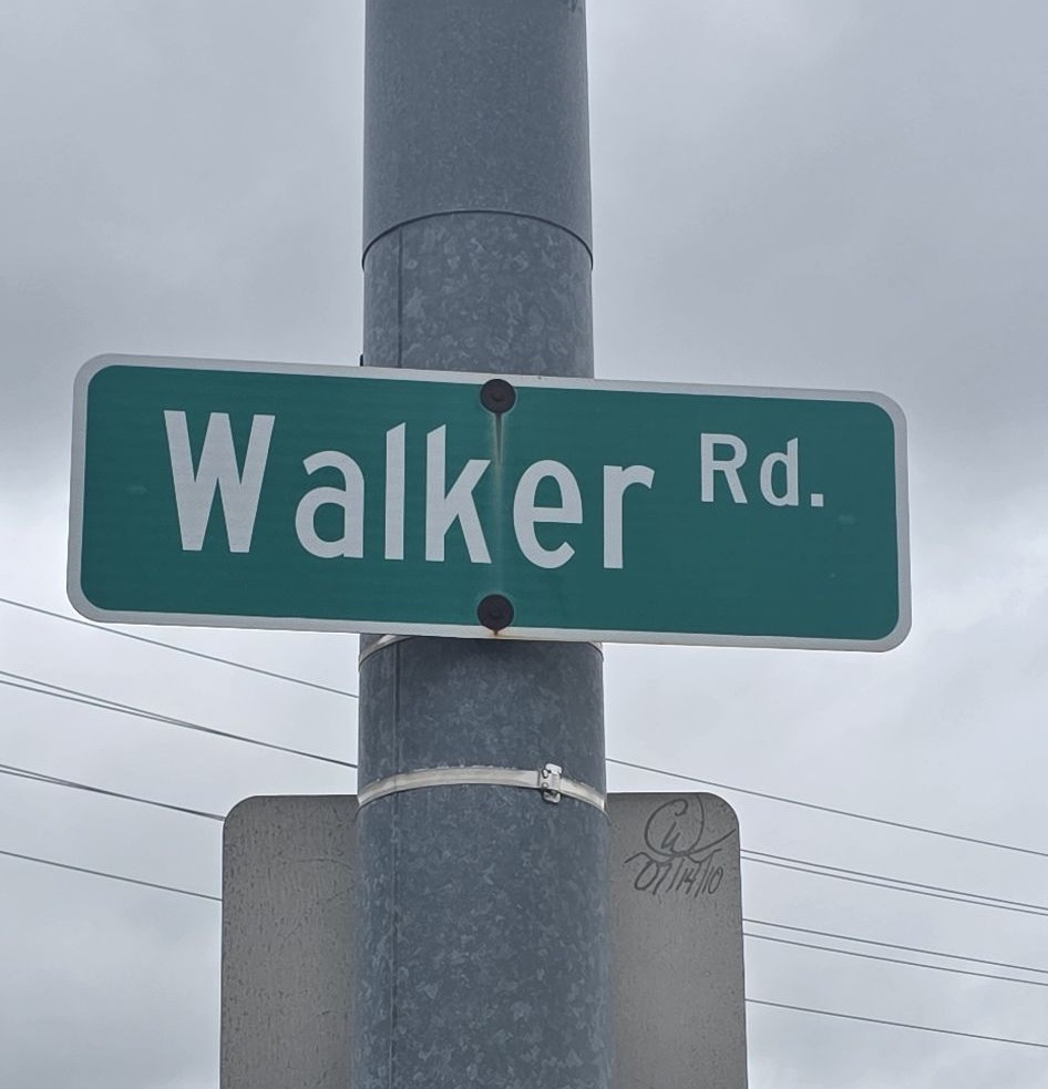
The Ontario Heritage Trust describes Walker Road as the eastern boundary of Walkerville and the industrial hub of Hiram Walker's company town. We have not found an official sentence that uses the formal words "named for Hiram Walker," so the entry stops at that documented role in the town he built. The Hiram Walker statue in Walkerville is on Landmarks.
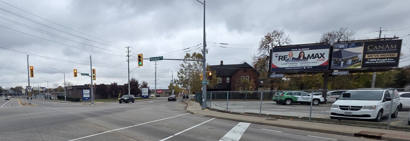
Walker Road sign, 12 November 2026.Photo by Kyle L. Stewart, Windsor NewsWalker Road sign at Wyandotte Street, 12 November 2026.Photo by Kyle L. Stewart, Windsor NewsWalker Road at Wyandotte Street, 12 November 2026.Photo by Kyle L. Stewart, Windsor News
Watkins Street
Formerly Lot Street. Renamed in 1963 in honour of the Watkins family. See Renamed streets.
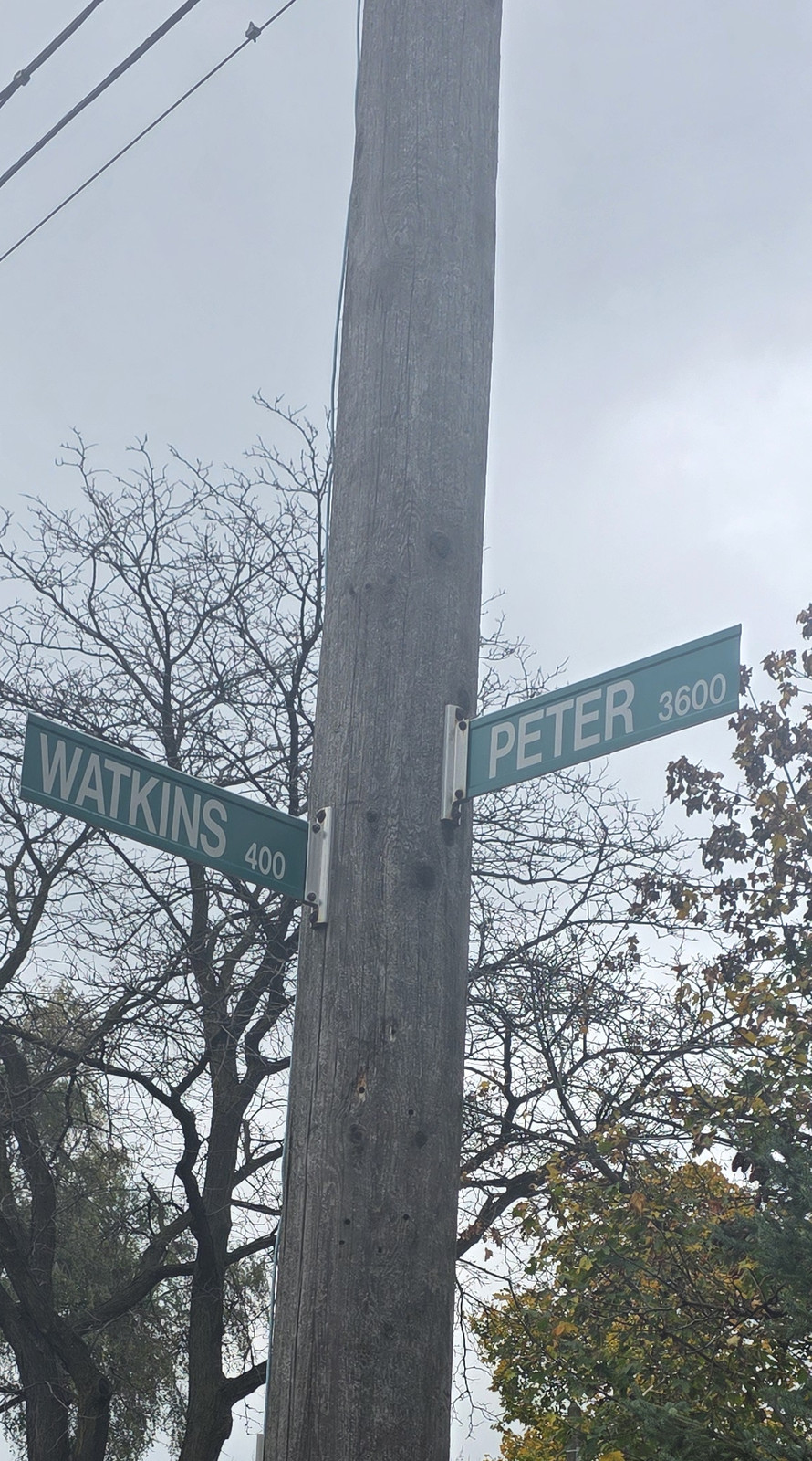
Watkins and Peter street signs, 12 November 2026.Photo by Kyle L. Stewart, Windsor News
Wyandotte Street
The name is a form of Wyandot, also called Wendat, the nation also known in French sources as the Huron, whose mission stood on this shore. Matthew Nahdee, then executive director of the Can-Am Indian Friendship Centre, has made that point in a published interview, noting that the name can be mistaken for French. The City's History of Sandwich uses "Huron (Wyandot)" for that nation. In the old Town of Riverside, the stretch now called Wyandotte Street East was once Ottawa Street. Historic views of Wyandotte at Devonshire Road, and of streetcar tracks on Wyandotte, are already on Neighbourhoods and Rails, Ferries and Crossings.
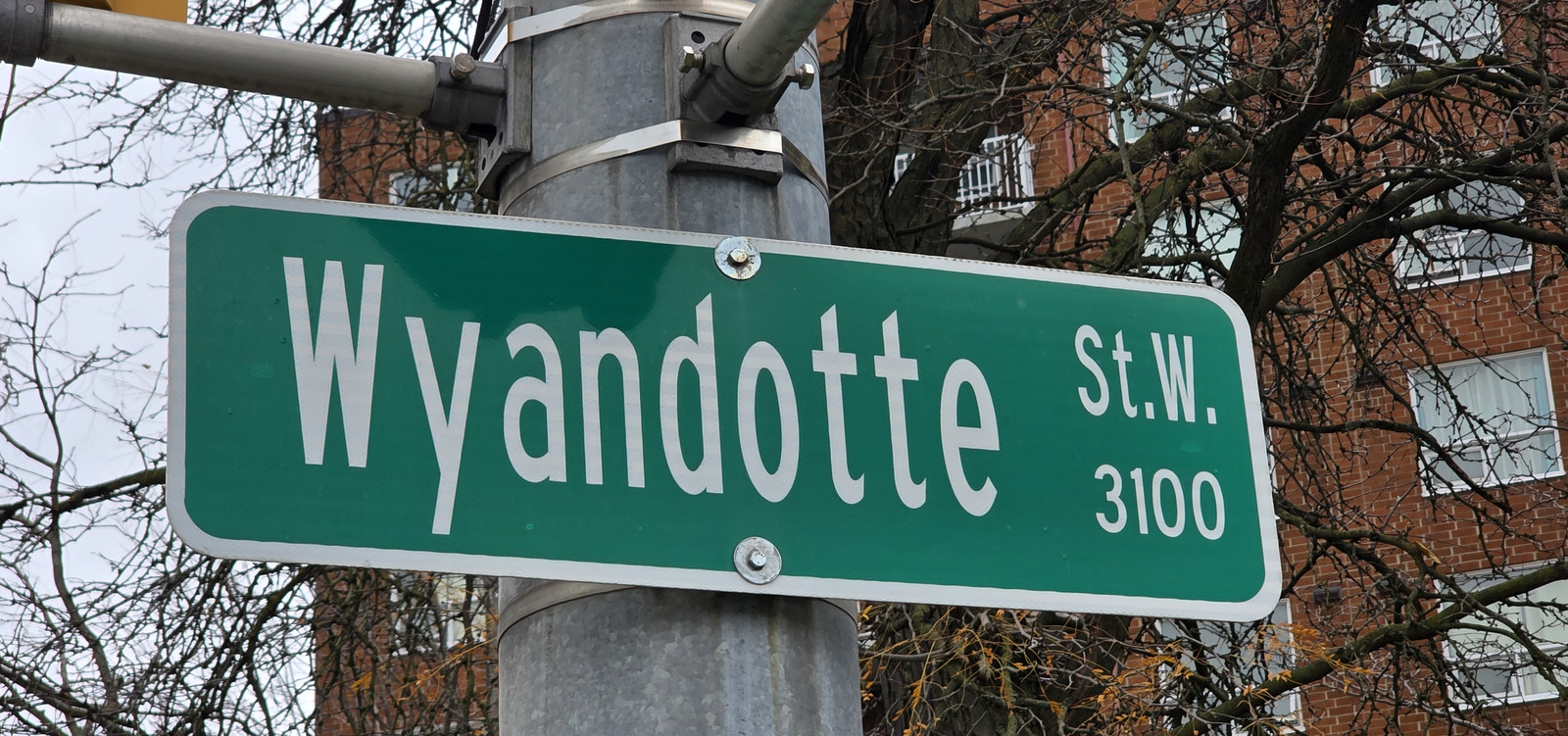
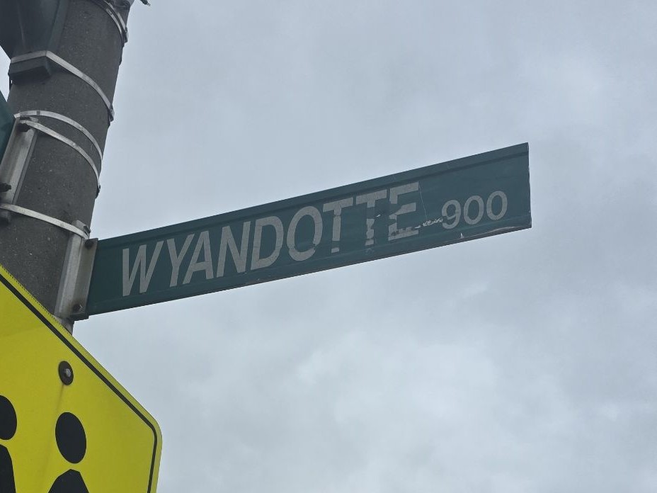
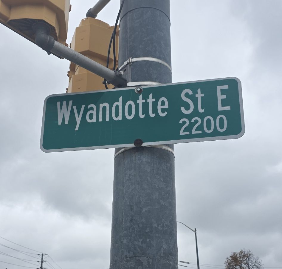
Wyandotte Street West sign, 3100 block, 12 November 2026.Photo by Kyle L. Stewart, Windsor NewsWyandotte Street sign, 900 block, 12 November 2026.Photo by Kyle L. Stewart, Windsor NewsWyandotte Street East sign, 2200 block, 12 November 2026.Photo by Kyle L. Stewart, Windsor News
Y
Ypres
A City poppy street, named after a battle Canadians fought in the world wars. CBC notes that a traditional French pronunciation of Ypres has survived in local speech.
Local people connected with this battle are listed on War Chest, in Ypres.
These well-known names were checked against the same standard and are not given a meaning on this page, because we could not find a reliable source, or because a popular story went further than the sources allow. They can be added later if a City, library, museum, university or similarly authoritative record turns up.
Askin Avenue. John Askin is a documented early figure in the Dictionary of Canadian Biography, and the Askin family appears in the Sandwich cemetery record, but we did not find a source that says the street was named for him.
Bridge Avenue, Campbell Avenue, Caron Avenue, Chappell Avenue, Crawford Avenue, Felix Street, Giles Boulevard, Hanna Street, Howard Avenue, Janette Avenue, and Prince Road. No naming origin that met the standard was found in the sources checked.
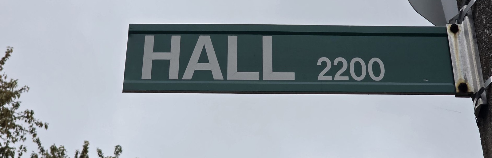
Hall Avenue. No naming origin that met the standard was found in the sources checked. The sign photograph shows the 2200 block, at Hall Avenue and Vimy Avenue.
Hall Avenue sign, 2200 block, 12 November 2026.Photo by Kyle L. Stewart, Windsor News
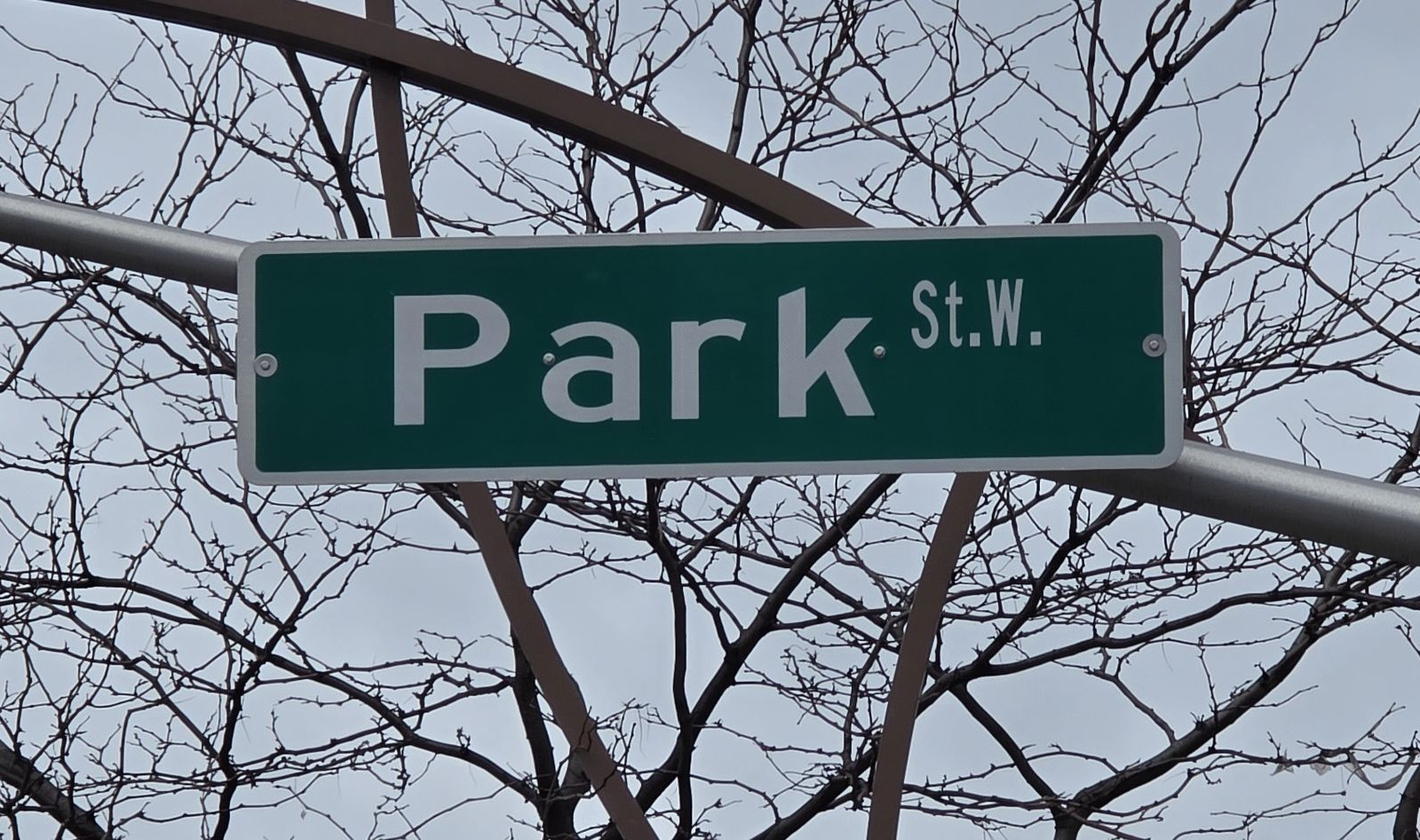
Park Street West. The street is on the City's official map at this downtown corner, including the intersection with Pelissier Street. A naming origin has not been verified.
Park Street West sign, at Pelissier Street, 12 November 2026.Photo by Kyle L. Stewart, Windsor News
Devonshire Road is documented as Walkerville's main street, but we did not find a reliable source that it was named for the Duke of Devonshire, or for another specific namesake.
Kildare Road and Lincoln Road bound or run through historic Walkerville in official descriptions, but their personal or place-name origins were not verified.
McDougall Street (also seen as MacDougall). A popular account ties it to Lt. George McDougall. That account did not rest on a source of the standard used here, so it is omitted.
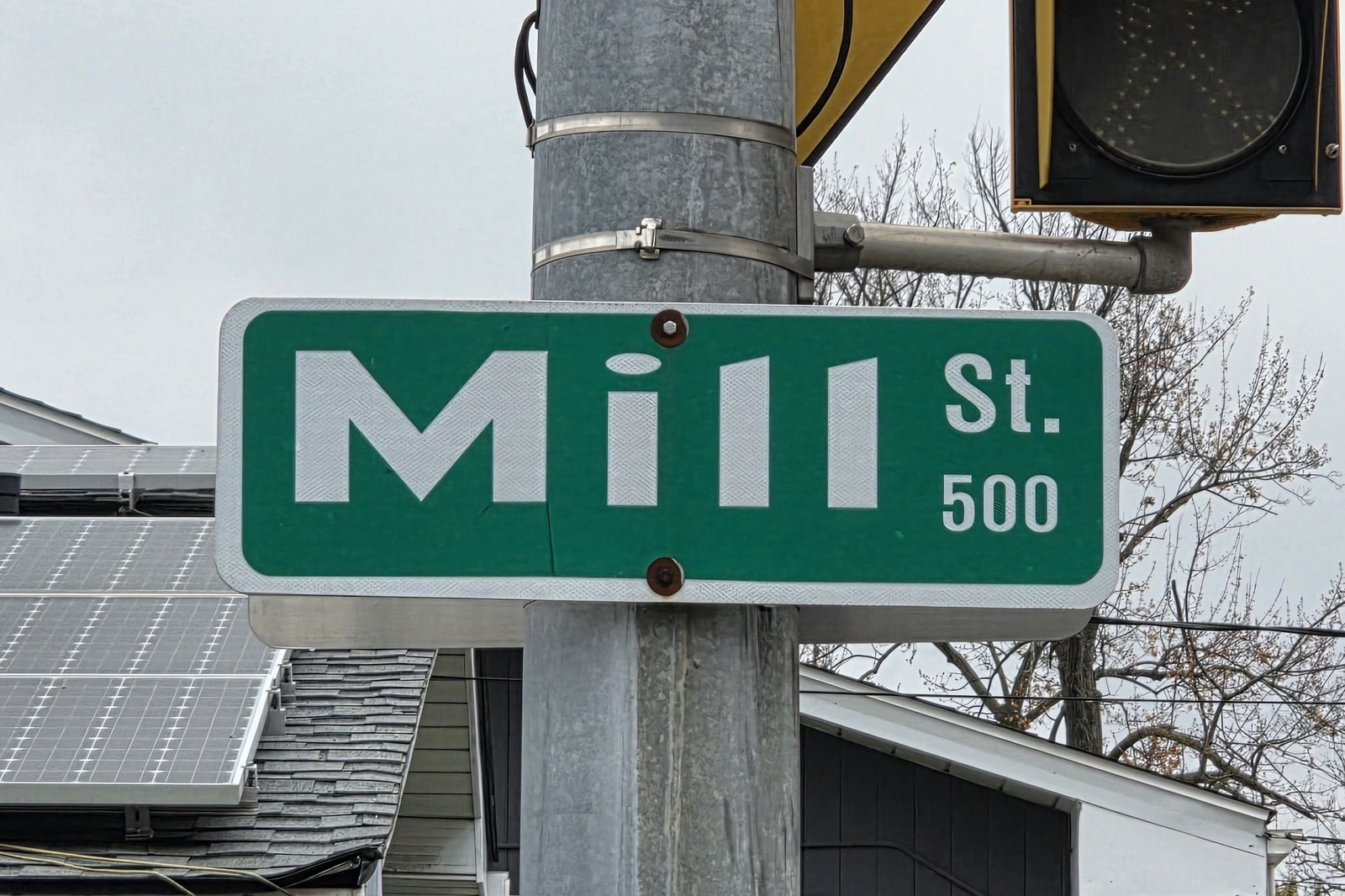
Mill Street stands at the old Sandwich commercial hub, and a windmill stood at Russell and Mill, but we did not find a sentence that says the street was named for the mill. The sign photograph shows the 500 block.
Mill Street sign, 500 block, 12 November 2026. The Sandwich Windmill, in Mill Street Park, is on Landmarks. Photo by Kyle L. Stewart, Windsor News
Pillette Road (also spelled Pilette in some accounts, including CBC). It is often grouped with French farm names, but we did not find a second official or scholarly source that states the family origin clearly enough to list it with Ouellette or Goyeau.
Rankin Avenue. Arthur Rankin is a documented local figure, but we did not find a source that says the street was named for him.
The Town of Sandwich's own name. Popular stories point to the Earl of Sandwich or to Sandwich in Kent. The official City histories checked here do not say so, so the claim is left off.
Tecumseh Road as a formal dedication to the chief, Walker Road as a formal dedication to Hiram Walker, Ouellette Avenue as a formal dedication to Vital Ouellette, and Brock Street as a formal dedication to Sir Isaac Brock. Related facts are verified in the entries above. The formal "named for" wording is not.
Erie Street as a name taken from Lake Erie, and Victoria Avenue as a name taken from Queen Victoria. The first is unproven here. The second is contradicted by the City walking tour, which says Victoria Avenue was named for James Dougall's daughter.
Fontainebleau, Forest Glade and Remington Park. We did not find an official or scholarly source for what those neighbourhood names mean, so they are not given origins here. They are also not treated in the Neighbourhoods "How each began" section.
Photographs already on this site
Historic street photographs already used on Rose City Roots are left in their original places, in keeping with the desk rule against repeating a picture. They include Ouellette Avenue views on Then and now and the entrance page, Sandwich Street and Ouellette views on Neighbourhoods, a Pitt Street trolley station on that same Neighbourhoods page, Wyandotte Street at Devonshire Road on Neighbourhoods, streetcar track on Wyandotte on Crossings, a 1912 streetcar postcard on Crossings, and Sandwich Street in 1863 on the Timeline.
We looked again for a dedicated set of historic enamel street-sign photographs in the desk photo library, research folders, and the news and personal Drive accounts available to this desk. We did not find that collection. Modern photographs of some Windsor street signs exist in copyrighted news use, including CBC, and are not available to reuse here. If a dedicated set of historic enamel street-sign photographs is in a folder we have not yet used, those can be added later without taking them off another page.
Sources
A meaning is printed only when it is backed by a reliable source: the City of Windsor (including Museum Windsor text on City pages, and City walking tours and planning documents), the Town of Tecumseh, Windsor Public Library or Southwestern Ontario Digital Archive at the University of Windsor's Leddy Library, university publications, the Canadian Encyclopedia, the Dictionary of Canadian Biography, the Ontario Heritage Trust, official heritage plaques or equivalently official records, and named scholars or community historians published in interviews we can still read. Where two such sources agree, or one is official, the entry is treated as verified. Popular websites and unsourced local lore were used only as leads.
Southwestern Ontario Digital Archive, University of Windsor Leddy Library, captions identifying Vital Ouellette's house and stating that London Street is now University Avenue
Have a photograph, a letter or a short family account from Windsor-Essex? Email a copy. Names, dates and places help. Keep your originals. We only publish with your permission, and we credit the family. Please do not send social insurance numbers, medical files or other private records.
If the button does not open mail, write us at windsornewsdesk@gmail.com with the same details. Nothing you type here is stored on this site. The fields only help fill the email on your device.

 Donate to Museum Windsor