
Windsor NewsFor the people, For the city.

The Rose City rose. A nod to Windsor's City of Roses nickname. Original artwork by Windsor News.

Rose City Roots · Timeline · Chapter 7 of 11

Border Cities

1858 TO 1935

Windsor, Walkerville, Ford City (later East Windsor) and Sandwich grew side by side on the river until they joined in 1935.

Timeline

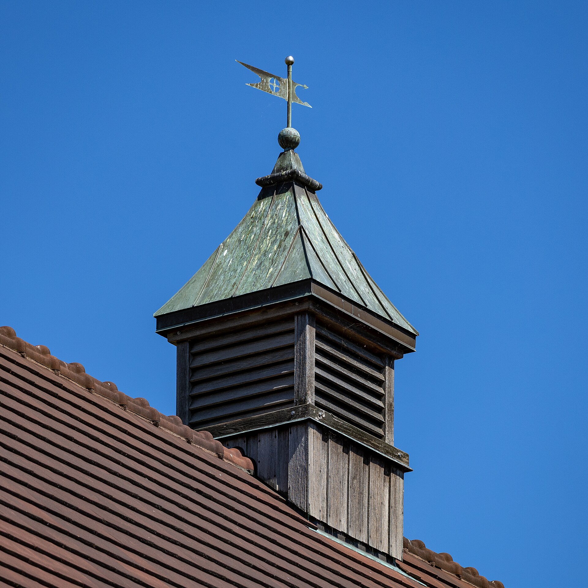
Former Walkerville Town Hall
Former Walkerville Town Hall, 2025. Chris Woodrich, CC BY-SA 4.0, via Wikimedia Commons. Place context for the Border Cities / Walkerville chapter.
  1. 1858 Walkerville. Hiram Walker founds a company town east of Windsor. Its industry is covered in Works and Wages. Sources: Dictionary of Canadian Biography · Ontario Heritage Trust
  2. 14 April 1892 A city. Windsor is incorporated as a city. Sources: City of Windsor · Canadian Encyclopedia
  3. 1904 to 1906 Willistead Manor. Albert Kahn designs the house for E. C. Walker. It was given to Walkerville in 1921 and came to the City of Windsor after 1935. Sources: City of Windsor · Canada's Historic Places
  4. 1913 The 1913 picture book. Harry Wentworth Gardner's 'Windsor, Ontario, Canada, 1913' records about 90 public-domain views of Windsor, Walkerville, Ford, Sandwich and Ojibway. Many pictures on this site come from it. Sources: Canadiana · Wikimedia Commons
  5. 1858 to the 1930s A company town you can still walk. The Ontario Heritage Trust and Tourism Windsor Essex Pelee Island describe Walkerville's surviving company-town architecture. Sources: Ontario Heritage Trust · Tourism Windsor Essex Pelee Island
  6. 1935 Amalgamation. Windsor, East Windsor (renamed from Ford City in 1929), Walkerville and Sandwich amalgamate. Sources: City of Windsor · City of Windsor

Willistead's giver

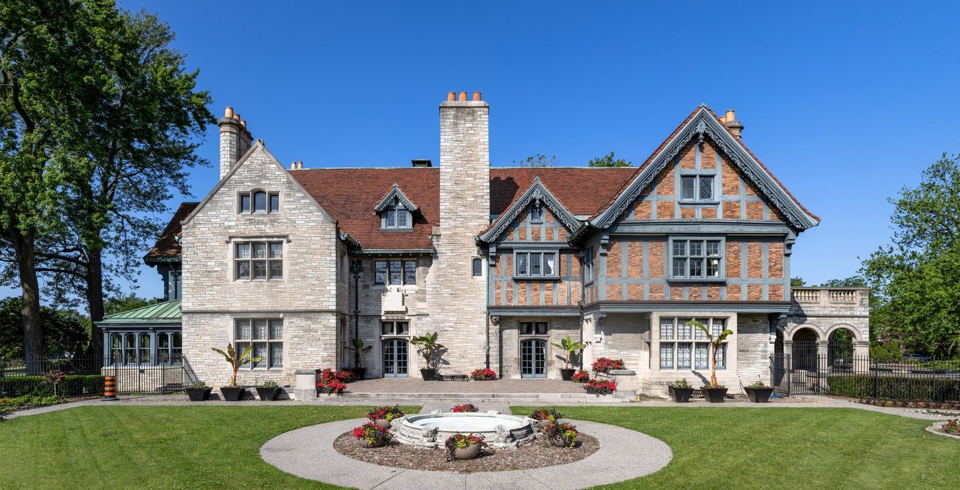
Willistead Manor, Windsor, June 2025
Crisco 1492. Willistead Manor, Windsor, 10 June 2025. Wikimedia Commons. CC BY-SA 4.0. House photo; not a portrait of E. C. Walker.

Edward Chandler Walker

Willistead Manor; gift to Walkerville Walkerville

Son of Hiram Walker. Albert Kahn designed Willistead for E. C. Walker. The house was given to Walkerville in 1921 and later came to the City of Windsor. Border Cities already shows the house story; this card names the giver. Tie: Walkerville philanthropy.

Sources: Ontario Heritage Trust / Walkerville histories · live Border Cities Willistead entry

Pictures

Bird's Eye View of Windsor, Ont. (real-photo postcard no. 4823)
Bird's Eye View of Windsor, Ont. (real-photo postcard no. 4823). Bird's Eye View of Windsor, Ont., about 1930. Real-photo postcard, Peerless Specialty Co., postmarked 28 August 1930. Public domain. Via Wikimedia Commons.
Map of Windsor and environs, 1913
Map of Windsor and environs, 1913. Windsor, Ontario, Canada, 1913, compiled by Harry Wentworth Gardner (Windsor: Evening Record, 1913), p. 2. Photographer uncredited. Public domain. Via Canadiana.ca / Wikimedia Commons.
Ouellette Avenue looking north from Sandwich Street, 1913
Ouellette Avenue looking north from Sandwich Street, 1913. Windsor, Ontario, Canada, 1913, compiled by Harry Wentworth Gardner (Windsor: Evening Record, 1913), p. 13. Photographer uncredited. Public domain. Via Canadiana.ca / Wikimedia Commons.
Devonshire Road looking north, Walkerville, 1913
Devonshire Road looking north, Walkerville, 1913. Windsor, Ontario, Canada, 1913, compiled by Harry Wentworth Gardner (Windsor: Evening Record, 1913), p. 72. Photographer uncredited. Public domain. Via Canadiana.ca / Wikimedia Commons.
E. C. Walker House (Willistead Manor), 1913
E. C. Walker House (Willistead Manor), 1913. Windsor, Ontario, Canada, 1913, compiled by Harry Wentworth Gardner (Windsor: Evening Record, 1913), p. 76. Photographer uncredited. Public domain. Via Canadiana.ca / Wikimedia Commons.
'Only a stream divides Detroit and the border cities'
'Only a stream divides Detroit and the border cities'. Only a stream divides Detroit and the border cities, 1918. Border Chamber of Commerce. British Library HS85/10/34533. Public domain.
Sandwich Township, 1881 county atlas map
Sandwich Township, 1881 county atlas map. East and West Sandwich Township, Illustrated Atlas of the Dominion of Canada, Essex supplement (Toronto: H. Belden & Co., 1881). Digitized by McGill University. Public domain.
Wyandotte Street looking west, Walkerville, 1913
Wyandotte Street looking west, Walkerville, 1913. Windsor, Ontario, Canada, 1913, compiled by Harry Wentworth Gardner (Windsor: Evening Record, 1913), p. 68. Photographer uncredited. Public domain. Via Canadiana.ca / Wikimedia Commons.
A view over Walkerville rooftops and the river from the tower of the Walkerville Fire Hall, 1895.
View from the tower of the Walkerville Fire Hall, 1895. From Souvenir: Windsor and Walkerville, May, 1895, the official programme of the Grand Military Demonstration of 24 to 26 May 1895 (E. J. Baxter, publisher), p. 7. Courtesy of the Southwestern Ontario Digital Archive (SWODA), Leddy Library, University of Windsor. Public domain.
The Central Fire Hall in Windsor, a brick hall with a tower and horse-drawn engines out front, 1895.
Central Fire Hall, Windsor, 1895. On the north side of Pitt Street between Windsor Avenue and McDougall Street; it later became known as central station no. 2. From Souvenir: Windsor and Walkerville, May, 1895, the official programme of the Grand Military Demonstration of 24 to 26 May 1895 (E. J. Baxter, publisher), p. 29. Courtesy of the Southwestern Ontario Digital Archive (SWODA), Leddy Library, University of Windsor. Public domain.

All chapters

Share a family photo or story

Have a photograph, a letter or a short family account from Windsor-Essex? Email a copy. Names, dates and places help. Keep your originals. We only publish with your permission, and we credit the family. Please do not send social insurance numbers, medical files or other private records.

Open an email to windsornewsdesk@gmail.com

If the button does not open mail, write us at windsornewsdesk@gmail.com with the same details. Nothing you type here is stored on this site. The fields only help fill the email on your device.